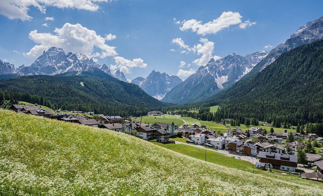
Hiking path: Moos - Kreuzbergpass

Sexten
Add to favourites
Category
Difficulty
Easy
Activity time
2:00
Duration in hours
Distance
1.5
Distance in km
Suggested period
Jan
Feb
Mar
Apr
May
Jun
Jul
Aug
Sep
Oct
Nov
Dec
Beautiful, less strenuous hike from Moos to the Kreuzberg Pass with wonderful views of the Sexten Dolomites.
Route info
Easy
Distance
1,5 km
Activity time
2 h 00 min
Ascent
296 m
Descent
0 m
Physical effort
Scenary
Highest point
1.636 m
Lowest point
1.340 m
Directions
Start in the centre of Moos. Take hiking trail 3b and at the next junction change to hiking trail 1. At the Drei Zinnen cable car, take hiking trail 13A and continue to follow it at Platzenfeld until you reach the Kreuzbergpass.
public transportation
Take bus route 446 to Moos Church
How to get there
By car or by bus to Moos (church).
Where to park
At designated parking spaces in Moos
You might be interested in
Discover related tours
Toblach
Summer hiking tour: Silvestertal/San Silvestro valley - Marchkinkele/Cornetto di Confine
Distance 8,9 km
Activity time 3 h 00 min
Ascent 1.054 m
Descent 4 m
Toblach
Summer walk around: Rienz/Rienza - Gratsch/Grazze - "Grieswaldile"
Distance 4,3 km
Activity time 1 h 30 min
Ascent 58 m
Descent 58 m
Sexten
Excursions with buggy: The meditation path
Distance 2,2 km
Activity time 1 h 01 min
Ascent 213 m
Descent 213 m
War cimitery Burg | © Kottersteger, San Candido
Intermediate
Add to favourites
Sexten, Innichen
Hike: War cemetery "Burg" - Capella del bosco - Sesto/"Burg"-Waldkapelle-Sexten
Distance 8,0 km
Activity time 3 h 00 min
Ascent 362 m
Descent 227 m
Gsellwiesen | © Harald Wisthaler, Sesto
Intermediate
Add to favourites
Sexten
Hike: East Gsellrunde
Distance 10,1 km
Activity time 4 h 00 min
Ascent 645 m
Descent 645 m
Gsell | © Harald Wisthaler, Sesto
Intermediate
Add to favourites
Innichen, Sexten
Hike: Western Gsell/ Monte Casella
Distance 15,0 km
Activity time 5 h 35 min
Ascent 645 m
Descent 645 m
Status
Closed