to the cable cars
Top

Hike: Sexten - Kreuzbergpass

Sexten
Add to favourites
Category
Difficulty
Intermediate
Activity time
2:25
Duration in hours
Distance
7.6
Distance in km
Suggested period
Jan
Feb
Mar
Apr
May
Jun
Jul
Aug
Sep
Oct
Nov
Dec
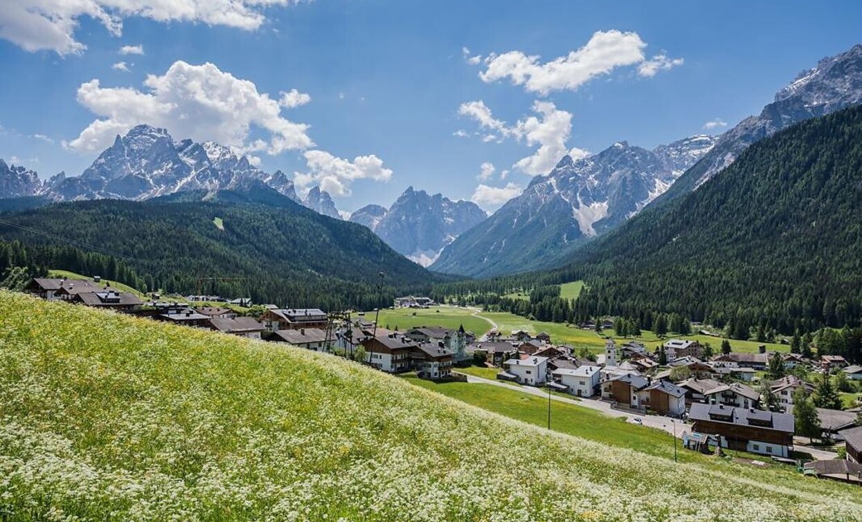
Beautiful, less strenuous hike from Sexten to the Kreuzberg Pass with wonderful views of the mountain landscape of the Sexten Dolomites.
Route info
Intermediate
Distance
7,6 km
Activity time
2 h 25 min
Ascent
355 m
Descent
33 m
Physical effort
Scenary
Highest point
1.634 m
Lowest point
1.313 m
Directions
Start at the Helm cable car in Sesto. At the Kinigerweg take route 1. Follow the path and take route 13A at the Drei Zinnen cable car. Once at Patzenfeld, follow the same path (13A) to the Kreuzbergpass.
public transportation
Take bus no. 446 to Sexten Helm
How to get there

By car or by bus to Sexten Helm.

Where to park
At designated parking lots in Sesto.
You might be interested in
Discover related tours
Baranci | © Kottersteger, San Candido
Intermediate
Add to favourites
Innichen
Hike: Pausa Ganda/Gantraste Peak
Distance 11,3 km
Activity time 4 h 30 min
Ascent 951 m
Descent 951 m
Sexten
Hike: Moos – Froneben agritourism
Distance 1,3 km
Activity time 40 min
Ascent 208 m
Descent 0 m
Waldkapelle chapel | © TV Sexten - Christian Tschurtschenthaler, Sesto
Intermediate
Add to favourites
Sexten
Hike: From Sexten to the Waldkapelle chapel
Distance 1,9 km
Activity time 50 min
Ascent 213 m
Descent 4 m
Monte Rota | © © DreiZinnenMarketing/M.Schönegger, Dobbiaco
Intermediate
Add to favourites
Toblach
Summer-walk around the Ratsberg/Monte Rota
Distance 8,9 km
Activity time 4 h 00 min
Ascent 441 m
Descent 441 m
Toblach, Niederdorf
Circular hike: Niederdorf/Villabassa - Lanaweg
Distance 5,4 km
Activity time 1 h 37 min
Ascent 232 m
Descent 232 m
Sexten
Hike: Hotel Rainer – Hennstoll hut
Distance 1,3 km
Activity time 25 min
Ascent 78 m
Descent 11 m