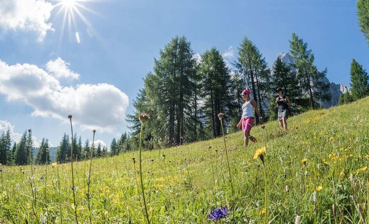
Alpine tour: Eastern "Gsell"

Innichen, Sexten
Add to favourites
Category
Difficulty
Intermediate
Activity time
3:45
Duration in hours
Distance
11.4
Distance in km
Suggested period
Jan
Feb
Mar
Apr
May
Jun
Jul
Aug
Sep
Oct
Nov
Dec

A quiet and peaceful hike with a wonderful panoramic view - an insider's tip for nature lovers.

Route info
Intermediate
Distance
11,4 km
Activity time
3 h 45 min
Ascent
790 m
Descent
790 m
Physical effort
Scenary
Highest point
2.007 m
Lowest point
1.345 m
Directions

Starting from Moos (1339 m) one walks westwards along the valley floor (trail no. 1) to the crossroads with path no. 12. Continue along the steeper forest path towards Fortress "Heideck". One now climbs steeply up to the mountain pastures on the left in several turns on the shady forest path and on a narrow path up to the highest point of the Innergsellwiesen meadows (2065m). From there you have a wonderful view to the mighty mountain sundial of Sesto. Crossing the scree heap of rubble under the "Gsellknoten" and you reach the "Aussergsell" (2004m) The descent first leads along a wide path nr. 12 to a flat ground, where path 12 B branches off to the east down to the meadows called "Frohne" and via them to Sesto, from where we return to the starting point.

Food and provisions should be brought along, as there is no managed hut (suitable place for picnics).

How to get there

The hike starts at Moos, path nr. 1

You might be interested in
Discover related tours
Helm | © Harald Wisthaler, Sesto
Intermediate
Add to favourites
Sexten
Mountain Tour: Monte Arnese/Hornischegg
Distance 9,4 km
Activity time 4 h 04 min
Ascent 1.210 m
Descent 1.210 m
Val Fiscalina | © Harald Wisthaler, Sesto
Intermediate
Add to favourites
Sexten
Summer Hike: Dolomites Alpine Ridgeway (Dolomiten-Höhenweg) No. 5
Distance 50,3 km
Activity time 18 h 25 min
Ascent 6.533 m
Descent 6.955 m
Helm/Monte Elmo | © H.Wisthaler TVB, Sesto
Intermediate
Add to favourites
Sexten
Mountain Hike: Helm/ Monte Elmo
Distance 5,1 km
Activity time 2 h 41 min
Ascent 1.068 m
Descent 1.068 m
Circuit Hike Torre dei Scarperi/ Schwabenalpenkopf | © Tourismusverein Sexten_ H. Wisthaler, Sesto
Intermediate
Add to favourites
Innichen, Sexten
Alpine tour: Circuit Hike Torre dei Scarperi/ Schwabenalpenkopf
Distance 29,5 km
Activity time 5 h 30 min
Ascent 1.095 m
Descent 1.095 m
Alpine Hike | © Tourismusverein Sexten_H.Wisthaler, Sesto
Intermediate
Add to favourites
Sexten
Alpine tour: On the Seikofel/ Monte Covolo
Distance 12,8 km
Activity time 3 h 56 min
Ascent 562 m
Descent 267 m
Niederdorf, Toblach
Villabassa/Niederdorf - Monte Serla / Sarlkofel
Distance 7,4 km
Activity time 4 h 03 min
Ascent 1.254 m
Descent 21 m