Alpine tour: Oberpachernspitze/Crode Fiscaline

Sexten
Add to favourites
Category
Difficulty
Difficult
Activity time
6:45
Duration in hours
Distance
18
Distance in km
Status
Closed
Suggested period
Jan
Feb
Mar
Apr
May
Jun
Jul
Aug
Sep
Oct
Nov
Dec

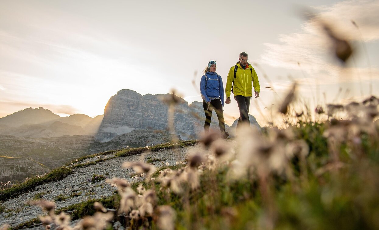
Beautiful, technically easy hiking tour in the heart of the Sesto Dolomites with special summit view.                                         

Route info
Difficult
Distance
18,0 km
Activity time
6 h 45 min
Ascent
1.237 m
Descent
1.237 m
Physical effort
Scenary
Highest point
2.677 m
Lowest point
1.454 m
Directions

By car or by bus we go in the famous Fischlein Valley to the Dolomitenhof and to the (chargeable) parking place. We follow the trail to the Talschluss hut (1.526m). On the left side of the hut we continue southwards through the Bachern Valley. On the bottom of the La Lista/Hohe Leist (1.900m) we go on the right and we ascent a short but steep draw, until we can turn right. We go further and above the Zsigmondy hut we turn right sharply and we keep moving toward to North-West. To climb the south-sided exposed and steep hillside it is recommended to go in a Left-Right-Bow: First we keep on the left and across the marked pan until we have to go on the right side, always following the logical way, and we arrive the peak. Summary: A wonderful tour in the heart of the Dolomites of Sesto, but it isn’t to be underestimated! Starting point: Sexten/Sesto At a short view: Sexten/Sesto – Campo Fiscalino – Talschluss hut – Bachern Valley – Crode Fiscalune/Oberbachernspitze - Sexten/Sesto
Difference in altitude: ca. 1.250m
Time of walking: ca. 6 hours

Tip: The Oberbachernspitze can be reached wonderfully from the Büllelejoch hut, the path via this variant cannot be missed.


public transportation
Take the 446 and 440 bus to the Fischleinboden stop.Take the 446 and 440 bus to the Fischleinboden stop.
How to get there

By car or by bus we go in the Fischlein Valley to the Dolomitenhof and to the (chargeable) parking place.

Where to park
Parking facilities at the public car parks
You might be interested in
Discover related tours
Helm | © Harald Wisthaler, Sesto
Intermediate
Add to favourites
Sexten
Mountain Tour: Monte Arnese/Hornischegg
Distance 9,4 km
Activity time 4 h 04 min
Ascent 1.210 m
Descent 1.210 m
Toblach, Sexten
Dolomites UNESCO Geotrail - Stage 10: from the Dreizinnen Hut to Sesto/Sexten
Distance 15,6 km
Activity time 4 h 17 min
Ascent 298 m
Descent 1.405 m
Status
Closed
Hochebenkofel | © Tourismusverein Innichen, San Candido
Intermediate
Add to favourites
Toblach, Innichen
Alpine Tour: Hochebenkofel/Cima Piatta Alta Peak
Distance 8,0 km
Activity time 10 h 00 min
Ascent 1.392 m
Descent 0 m
Status
Closed
Toblach, Sexten
Alpine tour: The Three-hut-hike
Distance 17,1 km
Activity time 8 h 00 min
Ascent 1.200 m
Descent 1.200 m
Status
Closed
Alpine Hike | © Tourismusverein Sexten_H.Wisthaler, Sesto
Intermediate
Add to favourites
Sexten
Alpine tour: On the Seikofel/ Monte Covolo
Distance 12,8 km
Activity time 3 h 56 min
Ascent 562 m
Descent 267 m
Helm/Monte Elmo | © H.Wisthaler TVB, Sesto
Intermediate
Add to favourites
Sexten
Mountain Hike: Helm/ Monte Elmo
Distance 5,1 km
Activity time 2 h 41 min
Ascent 1.068 m
Descent 1.068 m