Category
Difficulty
DifficultActivity time
41:00
Duration in hours
Distance
106.2
Distance in km
Status
Closed
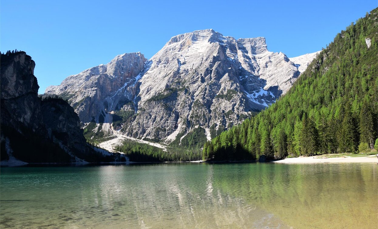
This alpine path leads along the north - south route through the eastern Dolomites.
This alpine path leads along the north - south route through the eastern Dolomites. During the course of the hike you will get to know interesting areas of the eastern Dolomites. The main route leads along an average height of 2.000m - so you have to expect high - alpine conditions. With the exception of the last sections, which can be bypassed on an easier path, experienced hikers will have no difficulties.
Stages: 8 -12 days
Stages: 8 -12 days


