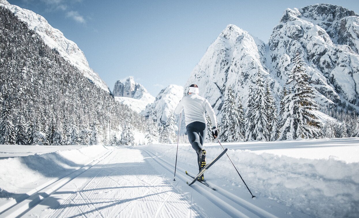
A long and fantastic tour through the entire Höhlensteintal/Val di Landro valley.
“Im Gemärk” is the German name for a pass height located at 1,530 m. Shortly before the pass, the provincial border runs between the provinces of South Tyrol and Belluno.
- Linear route
The start of the track is at the Nordic Arena cross-country stadium in Toblach/Dobbiaco. The track goes a little uphill, passing Lake Toblach/Dobbiaco, where you first get a great view of the Dolomites. The route continues to the War Cemetery, then to the View Point of the Three Peaks (Landro) and Lake Landro. A few kilometers later, after Schluderbach, you reach the Gemärk (Cimabanche) pass, the highest point of the route.
Accessible by public transport. The timetables are available on www.sii.bz.it.
How to reach Dobbiaco/Toblach: https://www.drei-zinnen.info/en/dobbiaco/dobbiaco/contact-and-service/arrival-mobility.html
From Dobbiaco in southern direction and further on to the district Säge/Segheria.
Parking places are available.


