to the cable cars
Top

11 Toblach/Dobbiaco: Gemärk/Cimabanche - Cross country stadium Nordic Arena (variant)

Toblach
Add to favourites
Category
Difficulty
Intermediate
Activity time
2:52
Duration in hours
Distance
17.3
Distance in km
Status
Closed
Suggested period
Jan
Feb
Mar
Apr
May
Jun
Jul
Aug
Sep
Oct
Nov
Dec

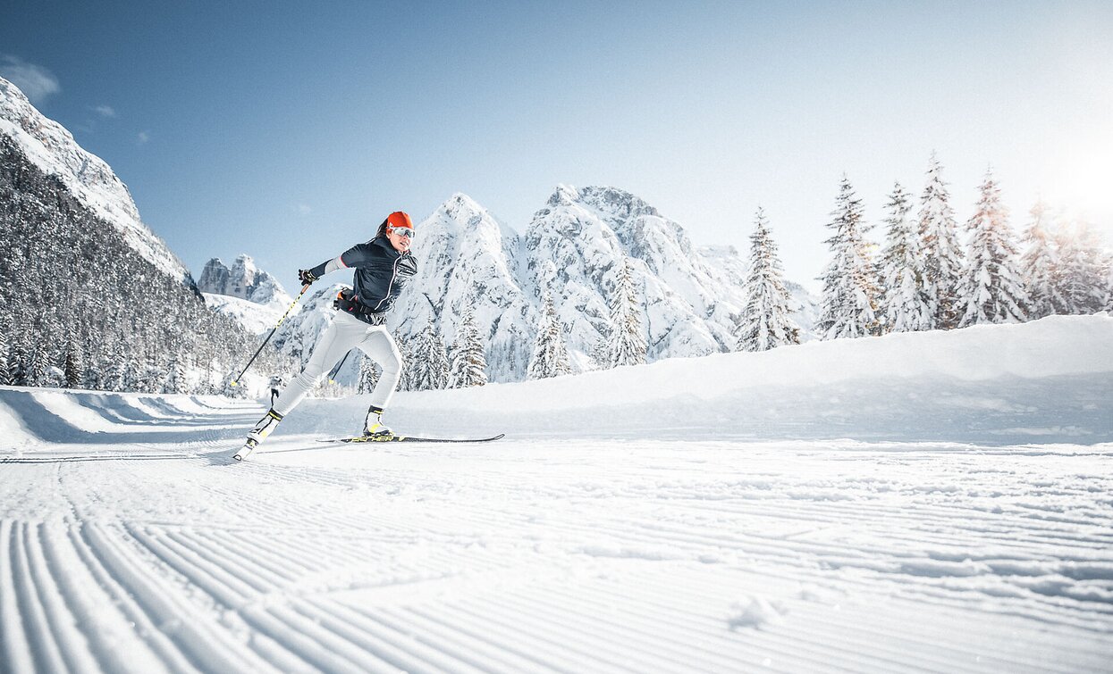
A long and fantastic track through the whole Höhlensteintal/Val di Landro valley.
“Im Gemärk” is the German name for a pass height located at 1,530 m. Shortly before the pass, the provincial border runs between the provinces of South Tyrol and Belluno.

Route info
Intermediate
Distance
17,3 km
Activity time
2 h 52 min
Ascent
132 m
Descent
449 m
Technical skills
Physical effort
Scenary
Highest point
1.529 m
Lowest point
1.212 m
Directions

Starting point of the cross country track is the pass Gemärk/Cimabanche. The track goes a little downhill, passing the Dürrensee/Landro lake, the Viewpoint of the Three Peaks/Landro, the War Cemetery and the lake of Toblach/Dobbiaco, to the cross country stadium of Toblach/Dobbiaco.

public transportation

Accessible by public transport. The timetables are available on www.sii.bz.it.

How to get there

How to reach Toblach/Dobbiaco: https://www.drei-zinnen.info/en/dobbiaco/dobbiaco/contact-and-service/arrival-mobility.html

From Toblach in southern direction and further on to the Gemärk Pass/Passo Cimabanche.

Where to park

Parking places are available.

You might be interested in
Discover related tours
18 SEXTEN - Circular Trail in the Fischleintal Valley | © Harald Wisthaler, Sesto
Intermediate
Add to favourites
Sexten
18 SEXTEN - Circular Trail in the Fischleintal Valley
Distance 6,3 km
Activity time 1 h 38 min
Ascent 101 m
Descent 83 m
Status
Closed
Toblach
26 Sun tack Toblach/Dobbiaco - Aufkirchen/Santa Maria
Distance 2,3 km
Activity time 53 min
Ascent 92 m
Descent 5 m
Status
Closed
county ski Alta Pusteria Hochpustertal San Candido Innichen | © Tourismusverband Hochpustertal, San Candido
Intermediate
Add to favourites
Toblach, Innichen
13 San Candido/Innichen chairlift Haunold/Baranci - direction Toblach/Dobbiaco (forest)
Distance 3,2 km
Activity time 45 min
Ascent 54 m
Descent 60 m
Status
Closed
Cross-country skiing in Innichen/San Candido | © Tourismusverband Hochpustertal, San Candido
Intermediate
Add to favourites
Toblach, Innichen
13a Innichen/San Candido chairlift Haunold/Baranci - direction Toblach/Dobbiaco (meadow)
Distance 3,0 km
Activity time 36 min
Ascent 27 m
Descent 30 m
Status
Closed
Cross Country Skiing | © © TvToblach/H.Wisthaler, Dobbiaco
Intermediate
Add to favourites
Toblach
06 Connection lake of Toblach/Dobbiaco variant
Distance 0,4 km
Activity time 05 min
Ascent 3 m
Descent 1 m
Status
Closed
Pragser Tal
36B Altprags/Braies Vecchia (skilift) - Brückele/Ponticello
Distance 3,2 km
Activity time 1 h 06 min
Ascent 119 m
Descent 49 m
Status
Closed