to the cable cars
Top

25 Niederdorf/Villabassa - Marathon / Prags/Braies to Nordic Arena

Pragser Tal, Niederdorf
Add to favourites
Category
Difficulty
Intermediate
Activity time
0:46
Duration in hours
Distance
3.3
Distance in km
Status
Closed
Suggested period
Jan
Feb
Mar
Apr
May
Jun
Jul
Aug
Sep
Oct
Nov
Dec
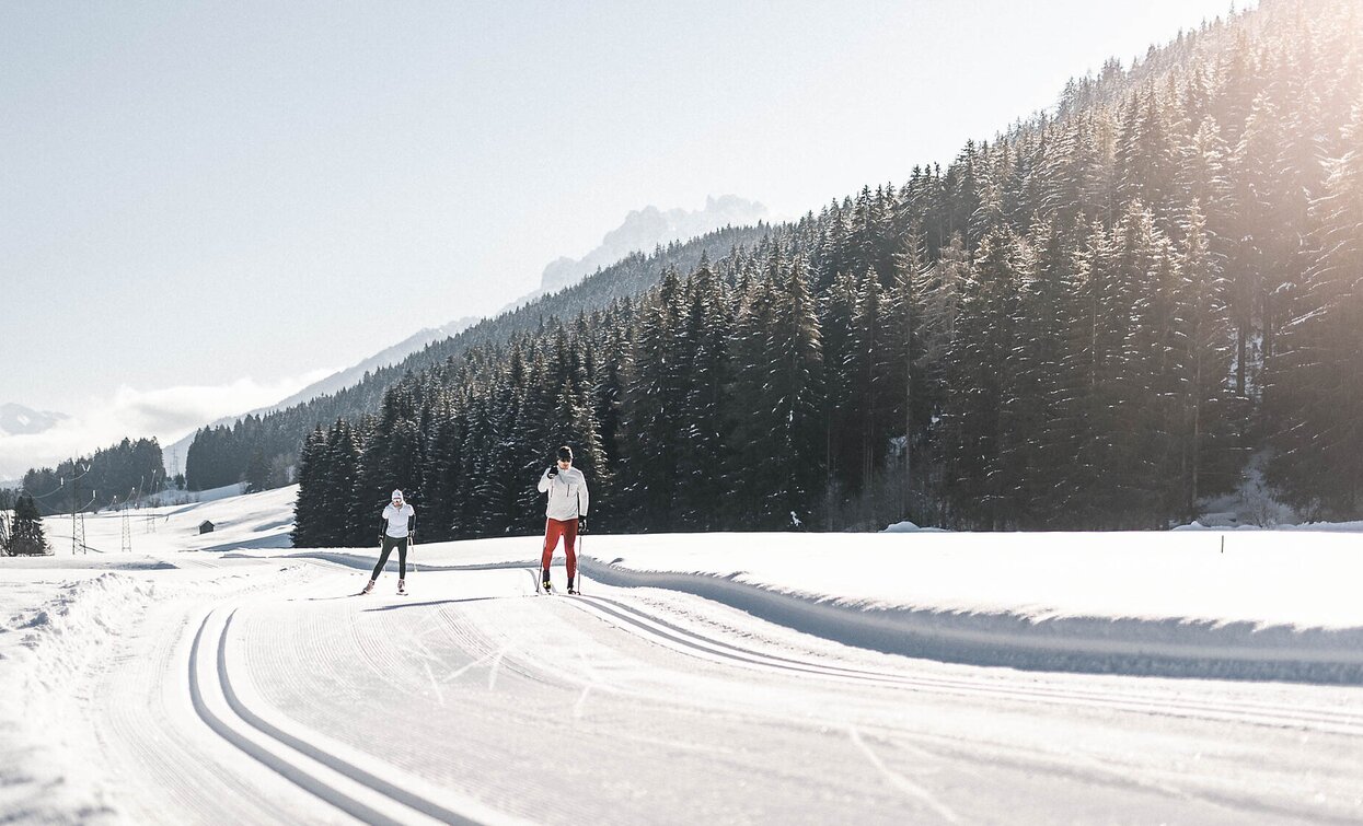
Pustertal Marathon Cross-Country Ski Trail

The starting point is the Niederdorf railway station (1,154 m) and the underpass at the regional agricultural cooperative.
The end point is the municipal border of Prags/Braies.

From here, there are connections to the cross-country ski trail network in several directions:
to the Nordic Arena in Toblach/Dobbiaco, into the picturesque Pragser Valley, or further on to Welsberg/Monguelfo – ideal for cross-country skiers who want to extend their route.

Route info
Intermediate
Distance
3,3 km
Activity time
46 min
Ascent
8.343 m
Descent
8.377 m
Technical skills
Physical effort
Scenary
Highest point
1.180 m
Lowest point
1.142 m
Safety guidelines

The responsible cross-country skier never leaves rubbish on the trail and does not harm the environment.

Directions
Start: railroad station in Niederdorf/Villabassa
End point: border Prags/Braies
continue to Prags/Braies or Welsberg/Monguelfo
public transportation

Niederdorf/Villabassa is easily accessible by public transport, such as buses and trains. Timetables are available at  https://suedtirolmobil.info/en/.

How to get there

The starting point is located in the center of Niederdorf. It is easily accessible by public transport: https://suedtirolmobil.info/en/.

Where to park

A recommended parking area in Niederdorf/Villabassa is located at the western entrance to the village (“West Entrance”).

You might be interested in
Discover related tours
cross country skiing San Candido Innichen Alta Pusteria Hochpustertal | © Tourismusverband Hochpustertal, San Candido
Intermediate
Add to favourites
Toblach, Innichen
13b Innichen/San Candido Hotel Walter - Toblach / Dobbiaco
Distance 3,0 km
Activity time 41 min
Ascent 49 m
Descent 38 m
Status
Closed
county ski Alta Pusteria Hochpustertal San Candido Innichen | © Tourismusverband Hochpustertal, San Candido
Intermediate
Add to favourites
Toblach, Innichen
13 San Candido/Innichen chairlift Haunold/Baranci - direction Toblach/Dobbiaco (forest)
Distance 3,2 km
Activity time 45 min
Ascent 54 m
Descent 60 m
Status
Closed
16a SEXTEN - Gasthaus "Alte Säge" - Schmieden | © Harald Wisthaler, Sesto
Intermediate
Add to favourites
Sexten, Innichen
16a SEXTEN - Gasthaus "Alte Säge" - Schmieden
Distance 1,5 km
Activity time 24 min
Ascent 21 m
Descent 14 m
Status
Closed
Toblach, Pragser Tal
Toblach/Dobbiaco: Schluderbach/Carbonin - Plätzwiese/Prato Piazza
Distance 7,0 km
Activity time 4 h 37 min
Ascent 574 m
Descent 1 m
Status
Closed
Innichen
16 Innichen/San Candido - direction Sexten/Sesto (Restaurant Alte Säge)
Distance 3,5 km
Activity time 58 min
Ascent 105 m
Descent 16 m
Status
Closed
Sexten
21 SEXTEN - Circular Trail Waldheim (illuminated)
Distance 2,6 km
Activity time 32 min
Ascent 10 m
Descent 10 m
Status
Closed