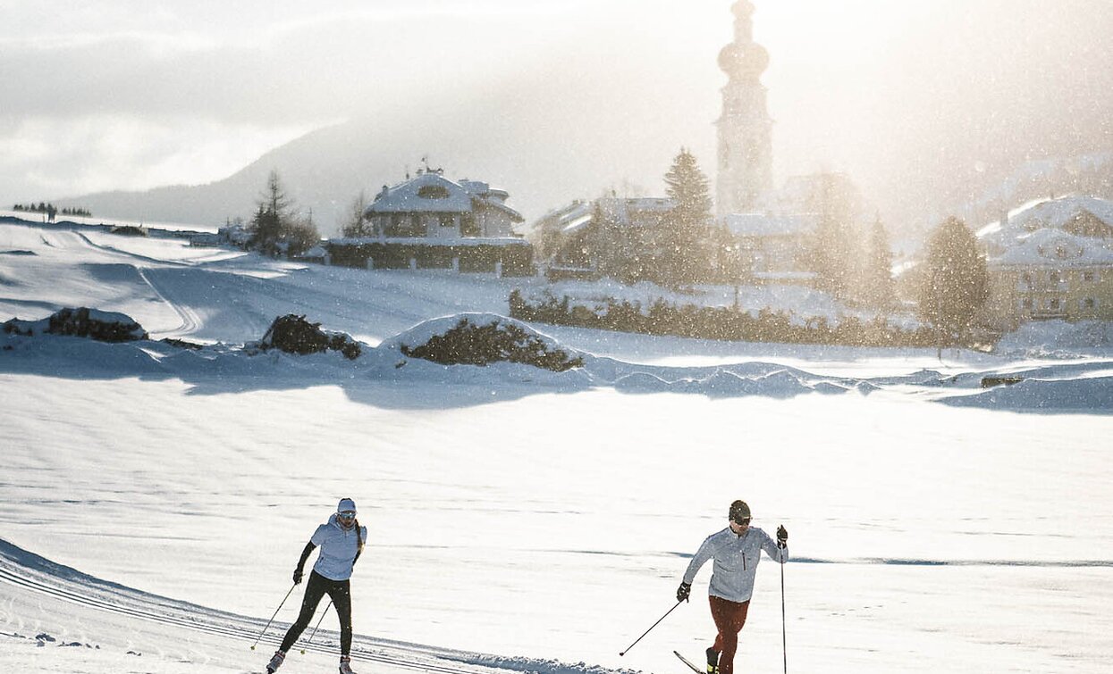
26 B Villabassa - Cross country "Sun" from Niederdorf/Villabassa to Rainerhof
The Sun Track, section Niederdorf/Villabassa to Toblach/Dobbiaco, starts above the parish church of St. Stephen at an altitude of 1,160 meters.
The end point is the Toblach/Dobbiaco sports zone, with the option to continue to the Schmieder Bridge at 1,240 meters.
The trail is approximately 3 kilometers long, or 4.5 kilometers if you continue to the bridge.
The difference in altitude along the route is about 85 meters.
The trail runs in a sunny location and offers stunning views of the surrounding Dolomites as well as the villages of Niederdorf/Villabassa and Toblach/Dobbiaco — a true highlight for those who want to enjoy nature, exercise, and breathtaking panoramas.
- Linear route
The responsible cross-country skier never leaves rubbish on the trail and does not harm the environment.
End point: Sports field in Toblach/Dobbiaco
Niederdorf/Villabassa is easily accessible by public transport, such as buses and trains. Timetables are available at https://suedtirolmobil.info/en/.
A recommended parking area in Niederdorf/Villabassa is located at the western entrance to the village (“West Entrance”).


