Top

26 Sun tack Toblach/Dobbiaco - Aufkirchen/Santa Maria

Toblach
Add to favourites
Category
Difficulty
Difficult
Activity time
0:53
Duration in hours
Distance
2.3
Distance in km
Status
Closed
Suggested period
Jan
Feb
Mar
Apr
May
Jun
Jul
Aug
Sep
Oct
Nov
Dec
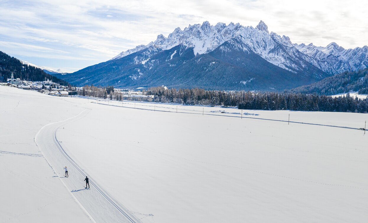
Cross-country ski enjoyment on the cross country track from Toblac/Dobbiacoh till Aufkirchen/Santa Maria.
Route info
Difficult
Distance
2,3 km
Activity time
53 min
Ascent
92 m
Descent
5 m
Technical skills
Physical effort
Scenary
Highest point
1.298 m
Lowest point
1.203 m
Directions
The sunny slope starts at Alttoblach/Dobbiaco Vecchia near the sport zone and leads uphill in the middle of fields to Aufkirchen/Santa Maria.
public transportation

Accessible by public transport. The timetables are available on www.sii.bz.it.

How to get there

How to reach Toblach/Dobbiaco: https://www.drei-zinnen.info/en/dobbiaco/dobbiaco/contact-and-service/arrival-mobility.html

From Toblach in western direction to the sport zone.

Where to park

Parking places are available.

You might be interested in
Discover related tours
Val di Landro/Höhlensteintal | © © TvToblach/H.Wisthaler, Dobbiaco
Intermediate
Add to favourites
Toblach
11 Toblach/Dobbiaco: Gemärk/Cimabanche - Cross country stadium Nordic Arena (variant)
Distance 17,3 km
Activity time 2 h 52 min
Ascent 132 m
Descent 449 m
Status
Closed
Sexten
21 SEXTEN - circuit Waldheim (illuminated)
Distance 2,0 km
Activity time 24 min
Ascent 20 m
Descent 20 m
Status
Closed
Pragser Tal, Niederdorf
32 Villabassa - Marathon from Niederdorf/Villabassa train station to Prags/Braies
Distance 4,5 km
Activity time 1 h 08 min
Ascent 113 m
Descent 51 m
Status
Closed
Niederdorf
27 A Villabassa - Cross-country Olympia
Distance 0,8 km
Activity time 08 min
Ascent 3 m
Descent 19 m
Status
Closed
Toblach
13 Cross country stadium Toblach/Dobbiaco - direction San Candido (connection to Sexten/Sesto)
Distance 2,4 km
Activity time 28 min
Ascent 5 m
Descent 26 m
Status
Closed
Prags / Braies | © Kottersteger, Braies
Intermediate
Add to favourites
Pragser Tal
34 Bodner - Mösslhof
Distance 2,1 km
Activity time 59 min
Ascent 83 m
Descent 0 m
Status
Closed