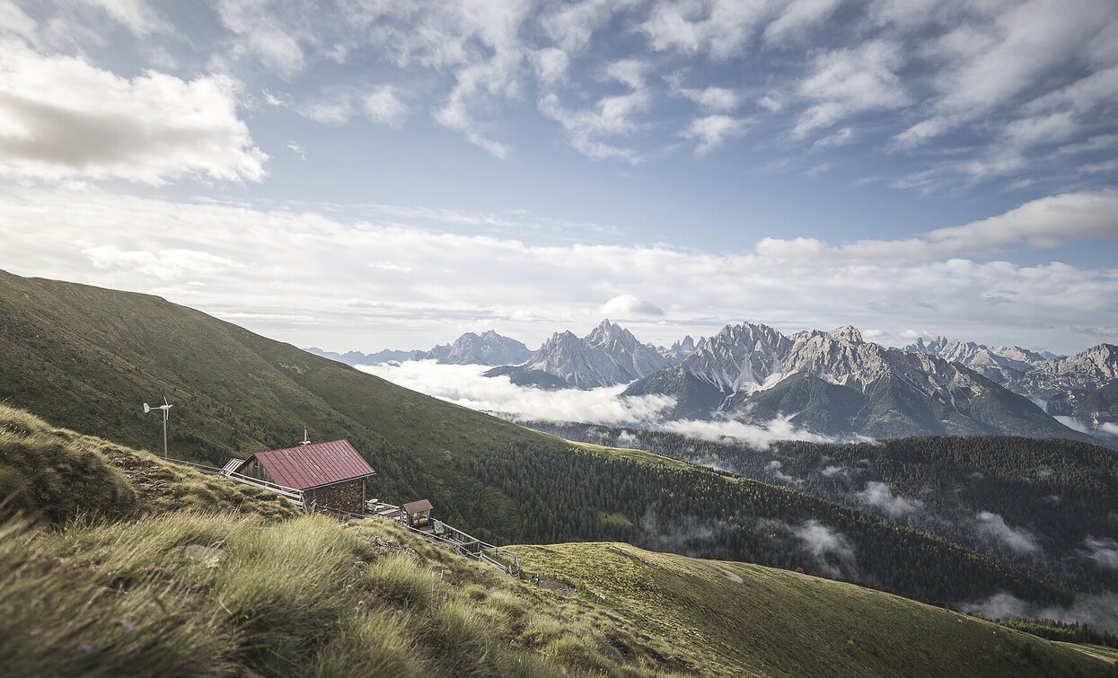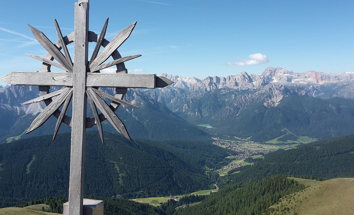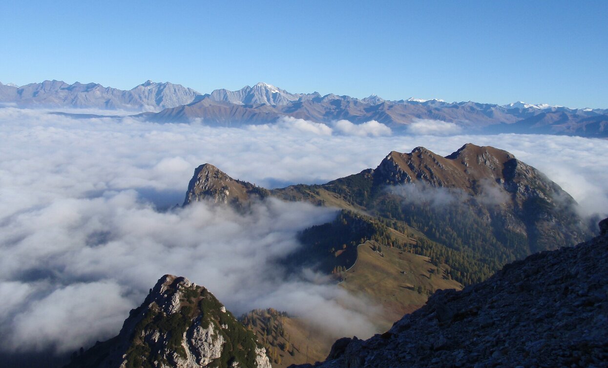
Dobbiaco municipal area. It leads to absolutely unique vantage points, past cultural and historic
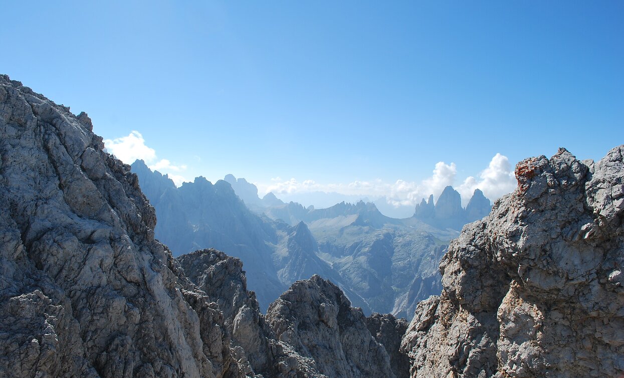
In the southern part of the circular hike, it crosses the Three Peaks World Heritage Site, mostly off the beaten track. With sleeping and refreshment facilities in typical mountain refuges and alpine huts.
The circular hike requires stamina, fitness and enjoyment of hiking. It can be undertaken independently, provided you have mountain experience, or you can ask one of the local mountain guides to accompany you.
A sustainable, climate-friendly long-distance hike for an eventful holiday week in nature, without using a means of transport.
nature, without using any means of transport other than your own feet.
The hike begins and ends directly in the village of Dobbiaco.
- Round trip
The hike begins and ends directly in the village of Dobbiaco.
1st stage: Dobbiaco - Bonner Hut
approx. 19,6 Km, ascent 1.900 Hm, descent 840 Hm, approx. 8 h pure walking time
From Dobbiaco in the direction of "Aufkirchen". Shortly after the hamlet "Aufkirchen" in the first right turn left in the direction of the Hanserhof and follow the road to the Hanserhof. After the "Hanserhof" take path no. 7 in the direction of "Römerweg". At the next turn take the "Römerweg" No. 41 to the right, follow it until the next crossroads and there take path no. 60 in the direction of "Frondeigen". In "Frondeigen" now take the follow path no. 24 in the direction of "Golfen". Once you have reached "Golfen", continue along path no. 24 in the direction of "Hochhorn" and "Gaishörndle". From the "Gaishörndle" short descent to the "Pfanntörl" and from there ascend to the "Pfannhorn", trail no. 24A. From the "Pfannhorn go to the refuge "Bonnerhütte", trail no. 25.
2nd stage: Bonner hut - Dobbiaco
approx. 18,5 km, ascent 599 m, descent 1.671 m, approx. 7 h pure walking time
From the Bonnerhütte on trail no. 25 ascending to the Pfannhorn. At the Pfannhorn continue on trail no. 1 in the direction of "Blankenstein" and "Marchkinkele" (March hut refreshment stop). From "Marchkinkele" on trail no. 14 towards "Bodeneck" - "St.Sylvester". From Bodeneck you have two possibilities:
3rd stage: Dobbiaco - Dreischuster Hut
approx. 16,5 km, ascent 979 m, descent 590 m, approx. 6.30 h pure walking time
Start in Dobbiaco directly behind the "Grand Hotel" on trail no. 28 to the "Elser Kaser" and from there on path no. 6A in the direction of the "Maier Kaser". From the "Maier Kaser" follow path no. 6A which joins trail no. 7B and leads to the "Gemeinde Kaser". From the "Gemeinde Kaser" take trail no. 7, which then joins trail no. 7A and leads in the direction of the Innerfeldtal "Drei Schuster Hütte" (refuge). Shortly before the "Drei Schuster Hütte" (refuge)
path no. 7A joins path no. 105.
Stage 4: Drei Schuster hut - Auronzo hut
approx. 14 Km, ascent 1.209 Hm, descent 510 Hm, approx. 6 h pure walking time. From the "Drei Schuster Hütte" follow path no. 105 until you reach a fork where you take path no. 9 (turn right). This path nr. 9 leads to path nr. 10. direction "Wildgrabenjoch". At the "Wildgrabenjoch" turn left onto trail no. 11 towards the "Schwaben Alm" and there continue on path n. 11 until it joins path n. 105 and leads to the "Drei Zinnen Hütte" (refuge). At the "Drei Zinnen Hütte" continue on path no. 105 (on the right) in the direction of "Lang Alm" (refreshment stop) and continue over the "Forcella Col di Mezzo" to the "Auronzo Hut" (refuge), always on path no. 105.
5th stage: Auronzo hut - Dürrenstein hut
approx. 21,3 Km, ascent 1.179 Hm, descent 1.459 Hm, approx. 8 h pure walking time
From the "Auronzo Hut" on trail no. 105 back to the "Forcella Col di Mezzo", there turn left and take path n. 108a towards "Malga Rinbianco". From the "Malga Rinbianco" on path n. 108 through the Rinbianco valley until you reach a fork in the road, direction "Forcella de Castrade" - "Monte Piano", path n. 111. At the "Forcella de Castrade" continue on path n. 6A towards "Schluderbach".
In "Schluderbach there are 2 possibilities:
Stage 6. Dürrenstein hut - Dobbiaco
approx. 16,2 Km, ascent 670 Hm, descent 1.461 Hm, approx. 6,30 h pure walking time
From the "Dürrenstein Hütte" follow the path nr. 40A = Dolomitenhöhenweg nr. 3, direction "Almhütte Plätzwiese" and continue to "Kirchler" and up to the "Flodige Sattel". At the saddle take the take trail no. 33 to "Sarl Riedl" and continue to the "Sarlsattel". At the "Sarlsattel" stay on trail no. 33 until the trail at "Suis Ridl" joins trail no. 16, which leads back to Dobbiaco.


