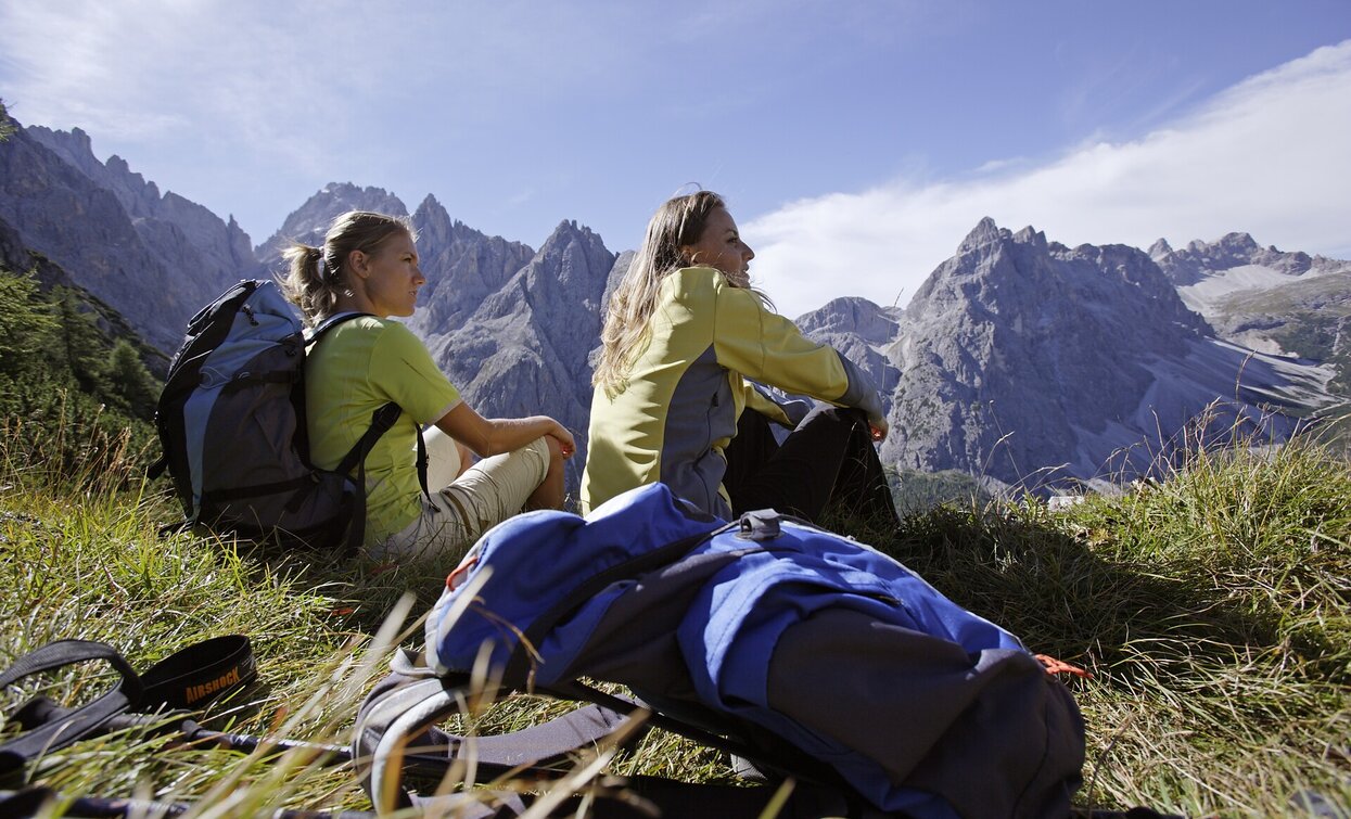
The Hochebenkofel is a magnificent peak that is hidden from view from Innichen/San Candido by the Haunold mountain. This Alpine tour is especially suited to experienced climbers as it requires some mountaineering ability. However, once you get to the top, you are rewarded with a fantastic view. There is also the Dreischusterhütte mountain hut on the way, an inviting place to call in; if not on the way up, then definitely on the way down.
- Linear route
From the Innerfeldtal valley, take a fairly smooth trail to the Dreischusterhütte (1,626 m). Then you continue into the valley across flat ground. At the fork at the foot of the Morgenkopf mountain, turn to the right (westwards) and climb up the Hangenalpltal valley to the Lückelescharte passage. From there the trail continues relatively steeply up to the Hochebenkofel. At the top, your efforts are rewarded with a stunning view.
Drive to Innichen in the Pustertal Valley/Val Pusteria and then direction Sexten. Between Innichen and Sexten on the right side there is the Innerfeldtal Valley/Val Campo di Dentro. From June to October, a special traffic regulation is in effect there. Further information is available at the tourist offices.


