Category
Difficulty
Intermediate
Activity time
4:55
Duration in hours
Distance
15.5
Distance in km
Status
open
Suggested period
Jan
Feb
Mar
Apr
May
Jun
Jul
Aug
Sep
Oct
Nov
Dec
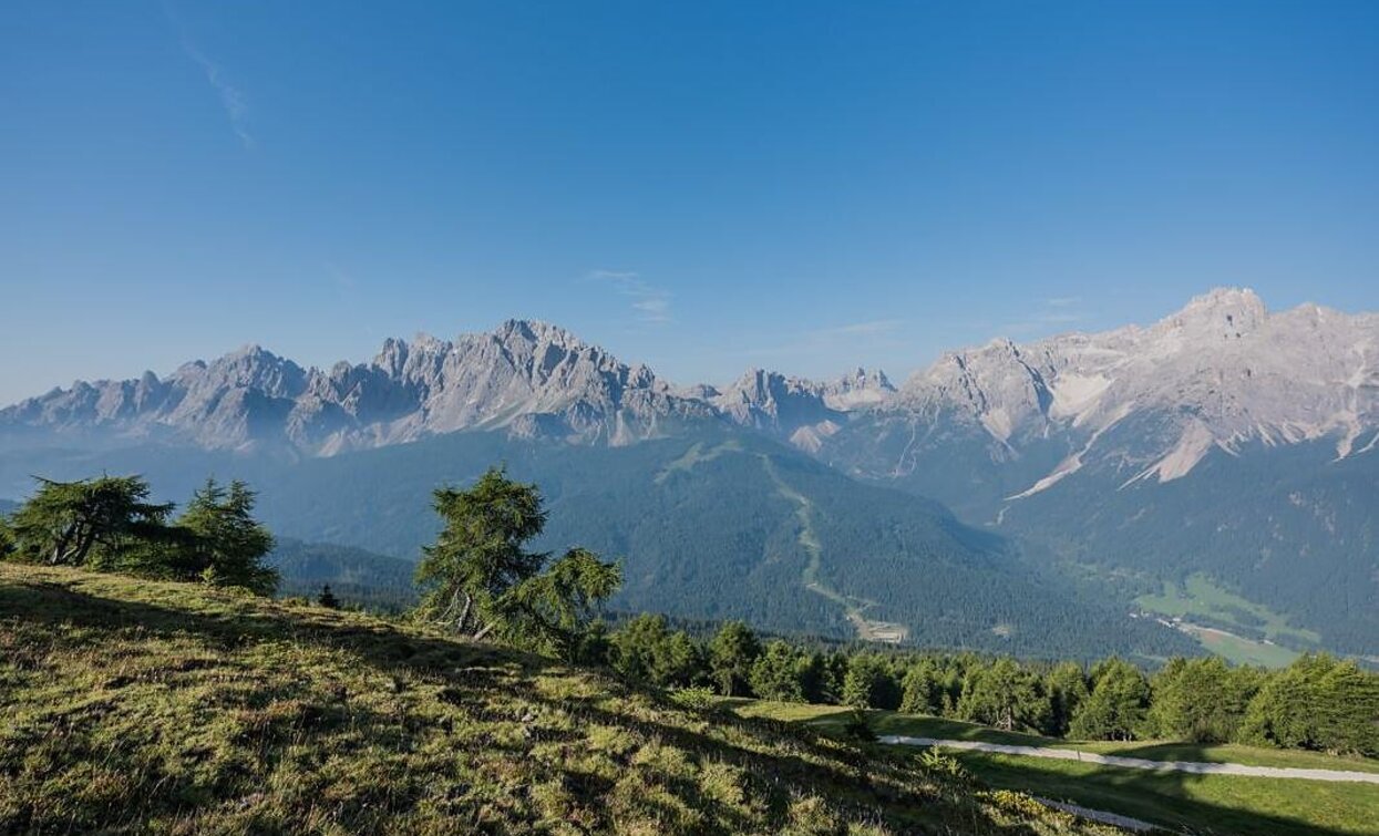
Half-day hike on the Sexten alpine pastures.
- History-steeped hike with views of the Sexten and Bellunese mountains
- High moors and rare plants
- Traces of the First World War at the summit
Route info
Intermediate
Distance
15,5 km
Activity time
4 h
55 min
Ascent
577 m
Descent
577 m
Physical effort
Scenary
Highest point
1.907 m
Lowest point
1.339 m
Directions
This mountain tour begins in Moos and initially leads steadily uphill via the Helmweg on the asphalt road. At the first road fork, turn right to the Berggasthaus Froneben (1,540 m). From Froneben, follow trail No. 139, which leads through the "Obere Oltl" high moor – a sensitive natural area with extraordinary vegetation. Finally, the path joins the wide forest road No. 13, which leads through dense spruce forests along the gorge of the Sextner Bach stream. Shortly after a prominent high wayside cross Saumahd (1,828 m), turn right at a fork (keeping left towards Klammbachalm). Now follow a wide forest road into the forest and soon reach an extensive clearing. Here, trail No. 132 branches off to the left and leads up to the Seikofel (1,908 m) – a site steeped in history with a unique panoramic view of the Sexten Dolomites. Along the way, you pass numerous high moors, rare plant species, and historical traces: some of the small ponds were created by shell craters during the First World War. Due to its strategic location, the Seikofel was once fiercely contested. The descent follows trail No. 131, which leads from the Nemesalm to the Kreuzbergpass. Follow the path into a gentle hollow and then climb up to a wooded hill. At this prominent junction where several routes meet, choose the wide forest road (trail No. 130), which turns right towards the Schwarzsee lake. Shortly after the small lake, the path turns left and leads steeply downhill. Passing the campsite, you continue further down the valley onto the Sexten circular trail (trail No. 1), which finally leads safely and comfortably back to Moos.
public transportation
Line 446, Moos Church bus stop; alternatively, line 440 during the high season.
How to get there
Coming from the Pustertal valley, turn off at Innichen into the Sexten valley. Coming from the Kreuzberg pass, follow the main road to Moos. Start anywhere in the centre of Moos.
Where to park
Parking is available in the center of Moos (limited time)
You might be interested in
Discover related tours


