Category
Difficulty
Easy
Activity time
0:01
Duration in hours
Distance
0
Distance in km
Status
open
Suggested period
Jan
Feb
Mar
Apr
May
Jun
Jul
Aug
Sep
Oct
Nov
Dec
Variant of No. 1 (Fux-Spur):
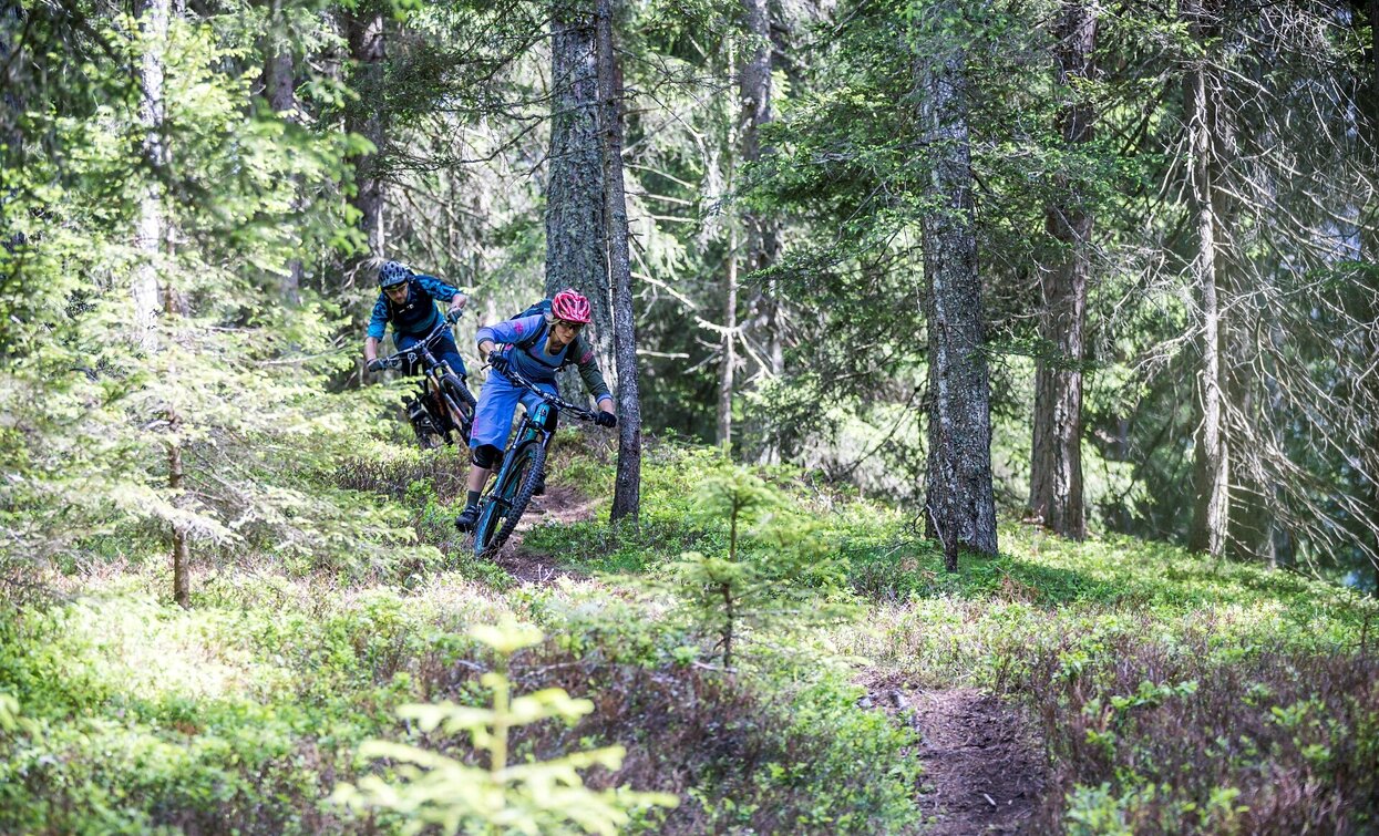
Very easy line. Wide and flat trail with gentle berms and rollers. Flat surface, no natural elements.
Very easy line. Wide and flat trail with gentle berms and rollers. Flat surface, no natural elements.
Tags
- Singletrail/Free ride
Route info
Easy
Distance
0,0 km
Activity time
01 min
Ascent
2 m
Descent
2 m
Physical effort
Scenary
Highest point
1.439 m
Lowest point
1.437 m
Safety guidelines
See rules of conduct in the start area.
public transportation
Line 446, bus stop Signaue; alternatively, during the high season, also line 440. Please note: No bicycle transport available on the buses.
How to get there
Coming from Innichen via the SS52 towards Sexten/Kreuzbergpass; the new MTB technique course Signaue is located at the Signaue cable car valley station.
Where to park
Parking available at the Signaue valley station.
Full equipment required: helmet, knee and elbow protectors, first aid box, gloves, glasses
You might be interested in
Discover related tours


