to the ski area
Top

Circular hike: Niederdorf/Villabassa - Lanaweg

Toblach, Niederdorf
Add to favourites
Category
Difficulty
Easy
Activity time
1:37
Duration in hours
Distance
5.4
Distance in km
Suggested period
Jan
Feb
Mar
Apr
May
Jun
Jul
Aug
Sep
Oct
Nov
Dec
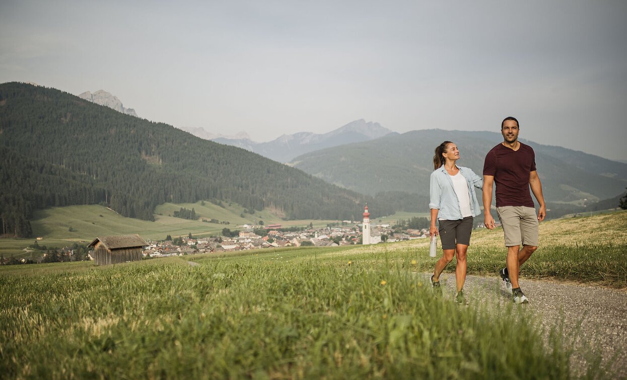
Circular hike from Niederdorf fire station through meadows, forests, and historic sites. Enjoy peaceful nature, mountain views, and a relaxing escape.

The circular hike begins at the volunteer fire department building in the center of Villabassa. From here, well-marked trail number 46 leads you through picturesque landscapes, passing meadows, forests, and accompanied by the soothing sounds of nature.

Follow the path to the historic Sinna Mihle, an old mill that still tells the story of life and work in the Puster Valley long ago. At this charming spot, turn right onto the Lanaweg, which takes you on a gentle, flat stretch for about 1.5 kilometers towards Toblach.

Along this section, you can enjoy the peaceful, almost meditative atmosphere – far from the hustle and bustle, accompanied only by the rustling of leaves and birdsong.

The return route leads you through the idyllic Langwiesn– wide, green meadows with open views of the surrounding mountains – back to Villabassa. The trail then closes the loop, bringing you back to your starting point at the volunteer fire department.

This easy yet varied hike is perfect for experiencing the scenic diversity and tranquil beauty of the region in a short time.

Tags
  • Accessibility
  • Family-friendly
Route info
Easy
Distance
5,4 km
Activity time
1 h 37 min
Ascent
232 m
Descent
232 m
Physical effort
Scenary
Highest point
1.354 m
Lowest point
1.147 m
You might be interested in
Discover related tours
Helm | © Harald Wisthaler, Sesto
Intermediate
Add to favourites
Innichen, Sexten
Hike: The Smuggler Trail
Distance 10,7 km
Activity time 3 h 40 min
Ascent 391 m
Descent 1.093 m
Hackhofer Walter | © Hackhofer Walter, Dobbiaco
Intermediate
Add to favourites
Toblach
Summer walk around: Cherchio Sylvesto Kreis
Distance 25,3 km
Activity time 8 h 09 min
Ascent 1.464 m
Descent 1.464 m
Toblach, Sexten
Hike: Sextner Stein, Three Peaks
Distance 6,7 km
Activity time 3 h 50 min
Ascent 1.097 m
Descent 3 m
Rifugio Tre Scarperi Drei Schuster Hütte Mountain Hut Innichen San Candido | © Tourismusverein Innichen, San Candido
Intermediate
Add to favourites
Sexten, Innichen
Winter hike: Rifugio Tre Scarperi/Drei Schuster Hütte Mountain Hut
Distance 11,3 km
Activity time 3 h 30 min
Ascent 374 m
Descent 374 m
Excursions with a baby buggy | © TV Sexten, Sesto
Intermediate
Add to favourites
Innichen, Sexten
Theme path: Helmjet Sexten – Jägerhütte hut – Gasthof Waldruhe - Sexten
Distance 5,3 km
Activity time 1 h 35 min
Ascent 7 m
Descent 744 m
Sexten, Innichen
Hike: top of Mt. Elmo - San Candido
Distance 10,5 km
Activity time 3 h 00 min
Ascent 23 m
Descent 905 m