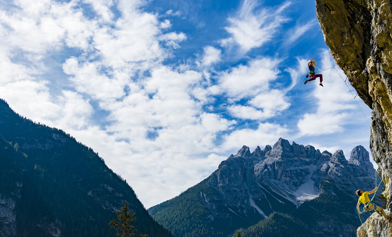
Climbing path "Cima dei Colli Alti/Hochalpenkopf"

Pragser Tal
Add to favourites
Category
Difficulty
Difficult
Activity time
3:08
Duration in hours
Distance
4.3
Distance in km
Suggested period
Jan
Feb
Mar
Apr
May
Jun
Jul
Aug
Sep
Oct
Nov
Dec

Short, not particulary difficult climbing path with long rising and falling section in an isolated area. Good orientation skills required. From the car park directly at the lake along the road to the “Riedlhof”, then on the path no. 20 to “Alpe di Pra della Vacca/Kühwiesenhütte” and continue on the path no. 61 and the climbing path until the peak of “Cima dei Colli Alti/Hochalpenkopf”. Walking time: 6 hours Challenge: ** (moderate difficulty)

Route info
Difficult
Distance
4,3 km
Activity time
3 h 08 min
Ascent
1.044 m
Descent
0 m
Physical effort
Scenary
Highest point
2.535 m
Lowest point
1.495 m
How to get there

Valley entrance Braies – road junction to Braies lake – continue until Braies lake.

You might be interested in
Discover related tours
Sexten
Via ferrata: Alpinisteig
Distance 14,2 km
Activity time 7 h 00 min
Ascent 600 m
Descent 900 m
Toblinger Knoten | © @TVToblach, Dobbiaco
Intermediate
Add to favourites
Toblach, Innichen, Sexten
Via ferrata: Torre di Toblin/Toblinger Knoten
Distance 4,7 km
Activity time 4 h 30 min
Ascent 480 m
Descent 227 m
Toblinger Knoten | © @Manfred Kostner, Sesto
Intermediate
Add to favourites
Sexten, Toblach, Innichen
Via ferrata: Dolomites without borders - stage 3 - Three Peaks - Rif. Comici
Distance 9,7 km
Activity time 8 h 00 min
Ascent 750 m
Descent 900 m
Status
Closed
Paternkofel | © © TvToblach, Dobbiaco
Intermediate
Add to favourites
Toblach, Sexten
Via ferrata: Monte Paterno/Paternkofel
Distance 5,3 km
Activity time 4 h 30 min
Ascent 728 m
Descent 311 m
Status
Closed
Sexten
Via ferrata: Dolomites without borders - stage 6 – RIF. BERTI - RIF. OBSTANSERSEE-HÜTTE
Distance 16,2 km
Activity time 7 h 30 min
Ascent 1.252 m
Descent 917 m
Status
Closed
Sexten
Via ferrata: Dolomites without borders - stage 5 – RIF. PRATI DI CRODA ROSSA/RIF. RUDI-HÜTTE - RIF. BERTI
Distance 7,7 km
Activity time 8 h 00 min
Ascent 1.200 m
Descent 1.500 m
Status
Closed