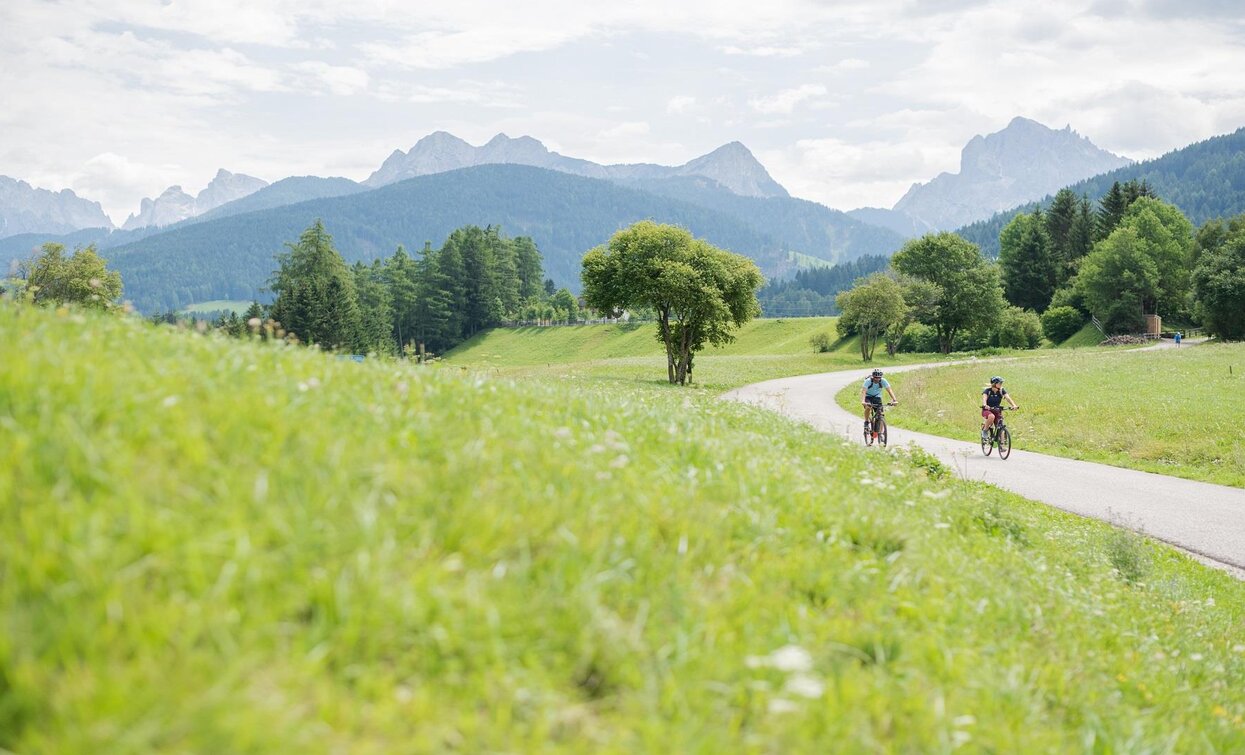
Cycle path Niederdorf/Villabassa - Bruneck/Brunico

Pragser Tal, Niederdorf
Add to favourites
Category
Difficulty
Intermediate
Activity time
1:33
Duration in hours
Distance
22.9
Distance in km
Suggested period
Jan
Feb
Mar
Apr
May
Jun
Jul
Aug
Sep
Oct
Nov
Dec
Along the river Rienz you reach the Olang valley basin with a view of the famous ski mountain Kronplatz. The bike path now continues to the picturesque town of Bruneck.
Beautiful family bike route from Niederdorf/Villabassa to Bruneck/Brunico. You start your bike tour in the direction of Welsberg/Monguelfo, past the reservoir in the direction of Olang/Valdora. There you will pass playgrounds, to the delight of the little bike lovers. Now you follow the bike route for about 10 km to the worth seeing city of Bruneck/Brunico.
Route info
Intermediate
Distance
22,9 km
Activity time
1 h 33 min
Ascent
16 m
Descent
320 m
Technical skills
Physical effort
Scenary
Highest point
1.258 m
Lowest point
842 m
Where to park
You can park your car at the train station in Villabassa/Niederdorf.
You might be interested in
Discover related tours
Toblach
E-Bike tour Toblach/Dobbiaco - Aufkirchen/Santa Maria - Neunhäusern/Nove Case
Distance 4,5 km
Activity time 21 min
Ascent 105 m
Descent 105 m
Status
Closed
Cycling Path | © Wisthaler, Villabassa
Intermediate
Add to favourites
Pragser Tal, Niederdorf
Cycling Path Niederdorf/Villabassa - Antholz Valley
Distance 30,9 km
Activity time 2 h 37 min
Ascent 742 m
Descent 144 m
Toblach, Innichen
Cycle Path: Innichen/San Candido - Lake of Toblach/Dobbiaco
Distance 6,7 km
Activity time 30 min
Ascent 83 m
Descent 3 m
Status
Closed
Niederdorf, Pragser Tal
Cycle Route Niederdorf/Villabassa - Prags/Braies
Distance 5,8 km
Activity time 30 min
Ascent 115 m
Descent 21 m
Toblach
E-Bike tour Toblach/Dobbiaco - Cortina
Distance 30,7 km
Activity time 2 h 18 min
Ascent 563 m
Descent 603 m
Status
Closed
Pragser Wildsee lake | © Kottersteger, Braies
Intermediate
Add to favourites
Pragser Tal
Bike tour from Welsberg/Monguelfo to Pragser Wildsee lake
Distance 11,3 km
Activity time 1 h 10 min
Ascent 391 m
Descent 391 m