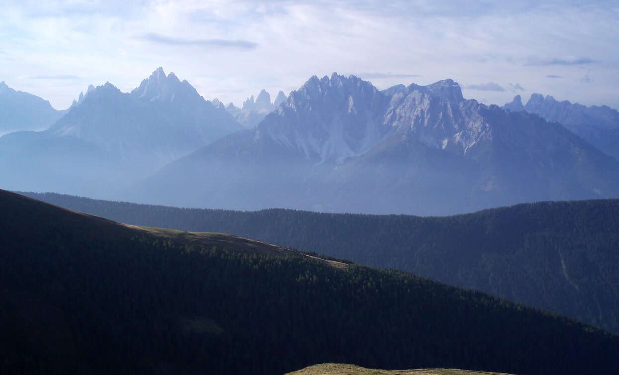
The Alpine Path of Toblach/Dobbiaco is a strenuous hike due to the km and is therefore only suitable for hikers with stamina. This high trail leads along the Austrian-Italian state border and offers a wonderful view of the Dolomites and the main Alpine ridge. The Bonnerhütte/Rifugio Bonner, the Marchhütte/Rifugio March, the Steinbergalm/Malga Steinberg and the Silvesteralm/Malga San Silvestro invite you to take a break.
The entire high trail is marked with a yellow H.
The tour can also be done as a 2-day tour with an overnight stay in the Bonnerhütte/Rifugio Bonner.
The hike starts after the fraction Wahlen/San Silvetro at the junction Kandellen/Gandelle – Frondeigen/Franadega – Silvestertal/Valle San Silvestro. From there, the hiking trail no. 24 leads, first on the road, then in the middle of the forest to the hamlet of Frondeigen/Franadega. The forest path, also with the no. 24, leads relatively flat at first just until before the tree line. At which point the path becomes a bit steeper and leads over grass slopes to the summit cross of the Golfen/Monte Calvo. Most of the high meters of the tour have already been completed here. From there, the alpine hike leads easily in an easterly direction to the Hochhorn/Corno Alto and Gaishörndl. The next peak, the Pfannhorn/Corno Fana, is the highest peak on the tour. A little below the summit it is located the Bonnerhütte/Rifugio Bonner hut. Always along the border between Italy and Austria, there are still the peaks Blankenstein and Marchkinkele. The Marchhütte/Rifugio March hut, newly built in 2020, is located below the summit of the Marchkinkele. The way back to the starting point takes place on the path no. 1 through the Blankental with the Steinbergalm/Malga Steinberg hut and over the subsequent forest path through the Silvestertal/Valle San Silvestro with the Silvesteralm/Malga San Silvestro hut. The last km of the round trip takes place on the paved road or alternatively, with a small detour, on the path in the forest on the left side.
Accessible by public transport. The timetables are available on www.sii.bz.it.
How to reach Toblach/Dobbiaco: https://www.drei-zinnen.info/en/dobbiaco/dobbiaco/contact-and-service/arrival-mobility.html
From Toblach in northern direction until Wahlen/San Silvestro.
Parking places are available.


