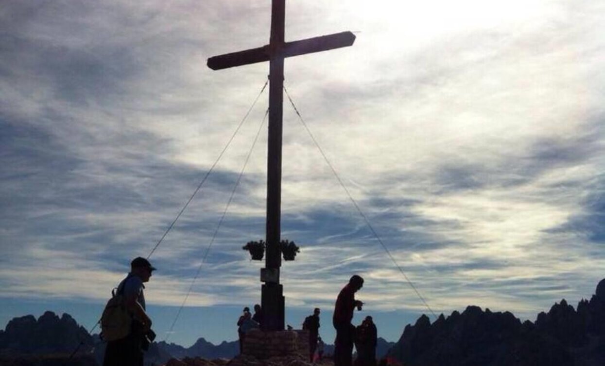
Like the trails no. 1, 4 and 5, this Alpine ridgeway goes through the eastern Dolomites and offers irresistible views of the magnificent mountains all the way along. Most sections of this trail are either more difficult or longer and more hard work than Alpine ridgeway no. 1 and 2. In addition to the considerable differences in altitude that have to be overcome within short sections, the route also includes some steep trails that are secured with cables and in some cases are quite exposed, with short climbing sections up to Grade II level of difficulty. There are easier alternatives to these sections.
Stages: 7–10 days
Route: Dobbiaco – Rienza – Sarlsattel – Sarlriedl – Flodigesattel – Kirchler Schroppen – Plätzwiese – Plätzwiesenhütte – Dürrensteinhütte – Strudelkopfscharte – Helltal – Höhlensteintal – Dürrensee – Pioniersteig – Monte Piano – A. Bosi Hütte – Val Popena – Sella di Popena – Passo Tre Croci – Rifugio Vandelli al Sorapis – Tondi di Sorapis – Cengia del Banco – Forcella del Bivacco – Bivacco Slataper – Forcella Grande – Rifugio San Marco – San Vito di Cadore – Sérdes – Casera Pian di Madièr – Rifugio Venezia – Forcella Ciandolada – Rifugio Talamini – Forcella di Val Inferna – Forcella Deona (Monte Rite) – Passo Cibiana – Forcella de le Ciavazole – Rifugio Bosconero – Forcella de la Toanella – Forcella del Viàz de le Ponte – Porta de la Serra – Bivacco Tovanella – Costa del Duo – Col Torondol – Longarone
Return to Dobbiaco: By bus from Longarone via Tai di Cadore and Cortina back to Dobbiaco.
Accessible by public transport. The timetables are available on www.sii.bz.it.
How to reach Toblach/Dobbiaco: https://www.drei-zinnen.info/en/dobbiaco/dobbiaco/contact-and-service/arrival-mobility.html
Parking places are available.


