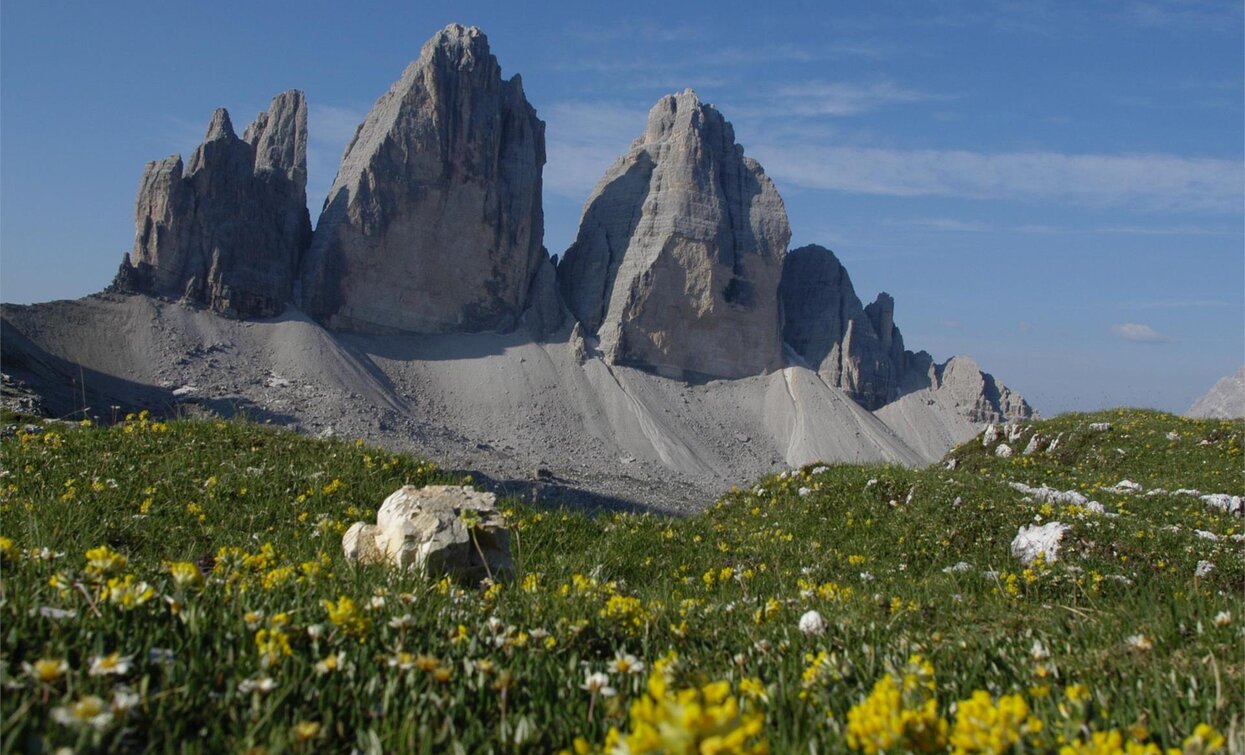
This path leads through the imposing rock reign of the Sesto Dolomites and the splendid Dolomites massifs Sorapis and Antelao. This route is recommended for experienced mountaineers only. Numerous sections lead along secured fixed-aid climbs amidst steep walls, and many easier climbing passages are present. Despite it's difficulty, path no. 4 is not overly demanding, since the path is located above the treeline for the most part and it does not feature huge differences in altitude.
Stages: 8 -10 days
Route: San Candido - Sesto Valley - Val Campo di Dentro Valley - Tre Scarperi Hut - Passo Grande dei Rondoi - Passo del Alpe Mattina - Locatelli Hut - Lange Alpe - Forcella Col de Mezo - Auronzo Hut - Alberto Bonacossa Path - Forcella di Rinbianco - Fonda Savio Hut - Sentiero Durissini - Forcella della Torre - Forcella Sabbiosa - Forcella Cadin Deserto - Forcella Cristina - Città di Carpi Hut - Maraia Alta - Federavecchia (Cristallo Hut) - Val Sorapis - Vandelli Hut - Alfonso Vandelli fixed-aid climb - Bivacco Comici - Carlo Minazio Path - Forcella Alta del Banco - Cengia Colli Neri - Forcella Grande - San Marco Hut - Forcella Piccola - Rifugio Galassi - Forcella del Ghiacciaio - Forcella Piria - Sella di Pradonego - Antelao Hut - Forcella Antracisa - M. Tranego - Pozzale - Pieve di Cadore
Return to San Candido: by bus from Pieve di Cadore either via Santo Stefano, Passo Monte Croce and Sesto to San Candido, or via Cortina to Dobbiaco and on to San Candido.
Accessible by public transport. The timetables are available on www.sii.bz.it.
How to reach Toblach/Dobbiaco: https://www.drei-zinnen.info/en/dobbiaco/dobbiaco/contact-and-service/arrival-mobility.html
Parking places are available.


