Top
Dolomites World Heritage Geotrail II - Stage 9: from the Plätzwiese High Plateau to the Dreizinnenhütte Hut
Toblach, Pragser Tal
Add to favouritesCategory
Difficulty
IntermediateActivity time
6:04
Duration in hours
Distance
17.4
Distance in km
Status
Closed
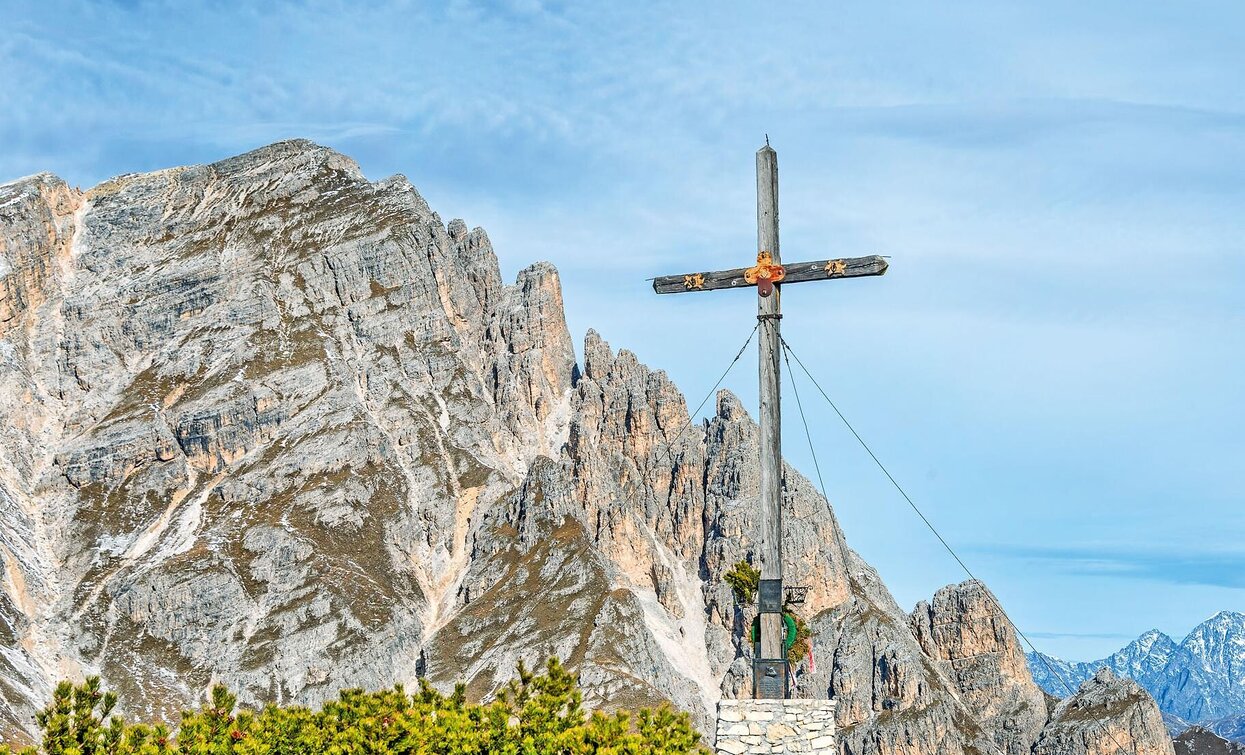
The summit cross offers a fantastic 360-degree view of the main Alpine ridge and the Dolomites
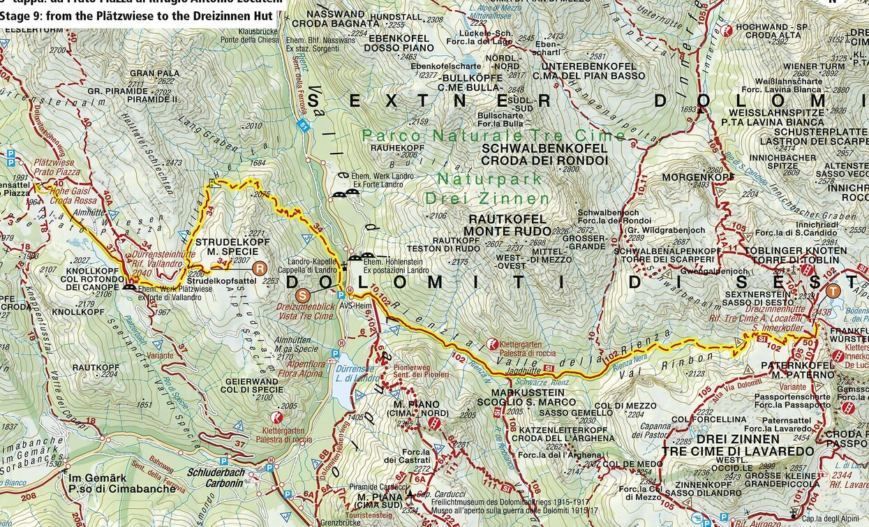
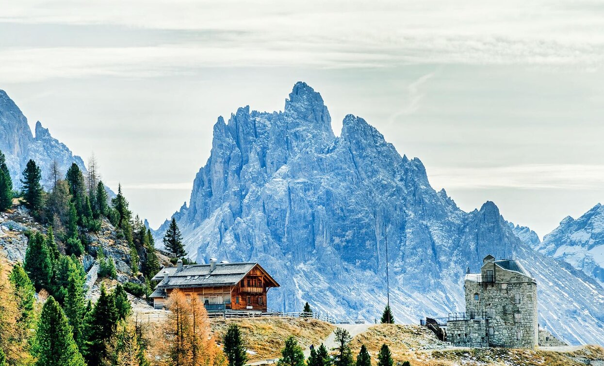
The ninth stage of the Dolomites World Heritage Geotrail II leads up the Rienztal valley to the Dreizinnenhütte hut in the shadow of the Three Peaks. This stage takes in a precise moment in the geological history of the Dolomites, namely when, 235 million years ago, after a period of intense volcanic activity, new reefs of algae, sponges and corals took root on the cores of the previous tropical atolls.
More information: https://www.dolomitiunesco.info/attivita/dolomites-world-heritage-geotrail/?lang=en
More information: https://www.dolomitiunesco.info/attivita/dolomites-world-heritage-geotrail/?lang=en


