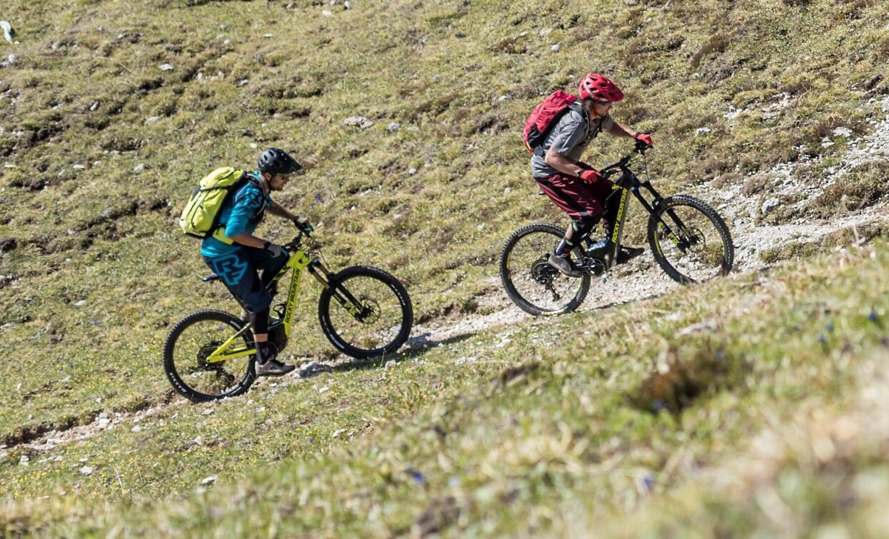
E-Bike tour Silvestertal/Valle San Silvestro valley

Toblach
Add to favourites
Category
Difficulty
Intermediate
Activity time
1:54
Duration in hours
Distance
21.3
Distance in km
Status
Closed
Suggested period
Jan
Feb
Mar
Apr
May
Jun
Jul
Aug
Sep
Oct
Nov
Dec

The mountainbike roundtour with the Silvesteralm/Malga San Silvestro hut and the Lachwiesenhütte/Rifugio Lachwiesen hut, which invite you to stop for a break, runs mainly on forest paths in the middle of the forest. This tour does not have any difficult parts.

Charging stations:
Dobbiaco/Toblach center

Charging possibility:
Malga San Silvestro/Silvesteralm hut


Route info
Intermediate
Distance
21,3 km
Activity time
1 h 54 min
Ascent
674 m
Descent
674 m
Technical skills
Physical effort
Scenary
Highest point
1.903 m
Lowest point
1.240 m
Directions

No. 041: The medium-difficulty mountain bike tour starts in Toblach/Dobbiaco center and leads in a north-east direction, past the district Wahlen/San Silvetro, into the Silvestertal/Valle San Silvestro valley. First on an asphalt road, later on a gravel path in the middle of the forest. This forest path always leads slightly uphill, only a little steeper two times, always straight ahead to the Silvesteralm/Malga San Silvestro hut, which is located in the middle of alpine meadows. Behind the hut, on the right side the round tour goes uphill again into the forest, passing below the Silvester/Silvestro chapel, to the “Innichner Eck”, which is the highest point of the tour. From there the path leads downwards, past the Lachwiesenhütte/Rifugio Lachwiesen hut, back to the starting point. From the Lachwiesenhütte hut the forest path turns back into an asphalt road.

Alternatively, it is also possible to start from Niederdorf/Villabassa or Innichen/San Candido.

public transportation

Accessible by public transport. The timetables are available on www.sii.bz.it.

How to get there
Where to park

Parking places are available.

You might be interested in
Discover related tours
Cycling Path | © Wisthaler, Villabassa
Intermediate
Add to favourites
Pragser Tal, Niederdorf
Cycling Path Niederdorf/Villabassa - Antholz Valley
Distance 30,9 km
Activity time 2 h 37 min
Ascent 742 m
Descent 144 m
Cycle path San Candido - Lienz | © Kottersteger, San Candido
Intermediate
Add to favourites
Innichen
Drava Cycle Path (Drau-Radweg): Innichen/San Candido - Lienz (AUT)
Distance 44,4 km
Activity time 2 h 59 min
Ascent 3 m
Descent 509 m
Status
open
MTB Toblacher See Lake | © Velontour, Villabassa
Intermediate
Add to favourites
Niederdorf, Toblach
Cycle path Niederdorf/Villabassa - Lake of Toblach/Dobbiaco - and back
Distance 16,4 km
Activity time 1 h 10 min
Ascent 176 m
Descent 176 m
Toblach, Innichen
Bike tour San Candido/ Innichen - Lago di Dobbiaco / Toblacher See lake
Distance 7,9 km
Activity time 35 min
Ascent 97 m
Descent 2 m
Pragser Wildsee lake | © Kottersteger, Braies
Intermediate
Add to favourites
Niederdorf, Pragser Tal
Bike tour from Niederdorf/Villabassa to Pragser Wildsee lake
Distance 10,8 km
Activity time 1 h 08 min
Ascent 332 m
Descent 332 m
Pragser Wildsee lake | © Kottersteger, Braies
Intermediate
Add to favourites
Pragser Tal
Bike tour from Welsberg/Monguelfo to Pragser Wildsee lake
Distance 11,3 km
Activity time 1 h 10 min
Ascent 391 m
Descent 391 m