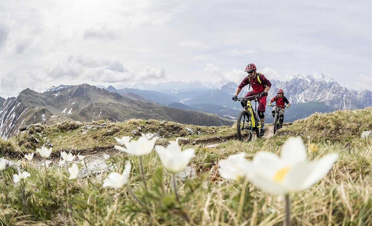
The Marchkinkele/Cornetto di Confine is a summit north of the village Toblach/Dobbiaco, on the border between South Tyrol (Italy) and East Tyrol (Austria).This MTB tour is one of the most demanding in the region.The efforts are quickly forgotten on the summit, as a 360 ° view offers an unforgettable panorama. In the south are the Dolomites with the Three Peaks and in the north the glaciers of Austria. Just below the summit is the Marchhütte hut, which invites you to make a break.
Charging stations:
Toblach/Dobbiaco center
Hotel Union
Dairy Three Peaks
Charging possibility:
Silvesteralm/Malga San Silvestro hut
No. 042: This mountain bike tour starts in the village center of Toblach/Dobbiaco and leads in a north-east direction, past the district Wahlen/San Silvestro, into the Silvestertal/Valle San Silvestro valley. First on an asphalt road, later on a gravel path in the middle of the forest. This forest path always leads slightly uphill, only a little steeper two times, always straight ahead to the Silvesteralm/Malga San Silvestro hut, which is in the middle of alpine meadows. Behind the hut, the tour goes uphill again on the right side into the forest, up to the “Bodeneck”. From there, an old military road from World War I branches off on the left and leads in serpentines, initially in the forest, later with a view of the Dolomite peaks, up to the “Strickberg”. From there it is not far to the Marchkinkele/Cornetto di Confine. The same path takes you back to the “Bodeneck”, from where the round tour continues in an easterly direction downhill to the mountain farms "Jaufen" and on to Winnebach/Prato alla Drava. From there the cycle path leads in western direction to Innichen/San Candido and on to Toblach, back to the starting point.
Accessible by public transport. The timetables are available on www.sii.bz.it.
How to reach Toblach/Dobbiaco: https://www.drei-zinnen.info/en/dobbiaco/dobbiaco/contact-and-service/arrival-mobility.html
Parking places are available.


