Category
Difficulty
Easy
Activity time
0:30
Duration in hours
Distance
1.2
Distance in km
Status
Closed
Suggested period
Jan
Feb
Mar
Apr
May
Jun
Jul
Aug
Sep
Oct
Nov
Dec
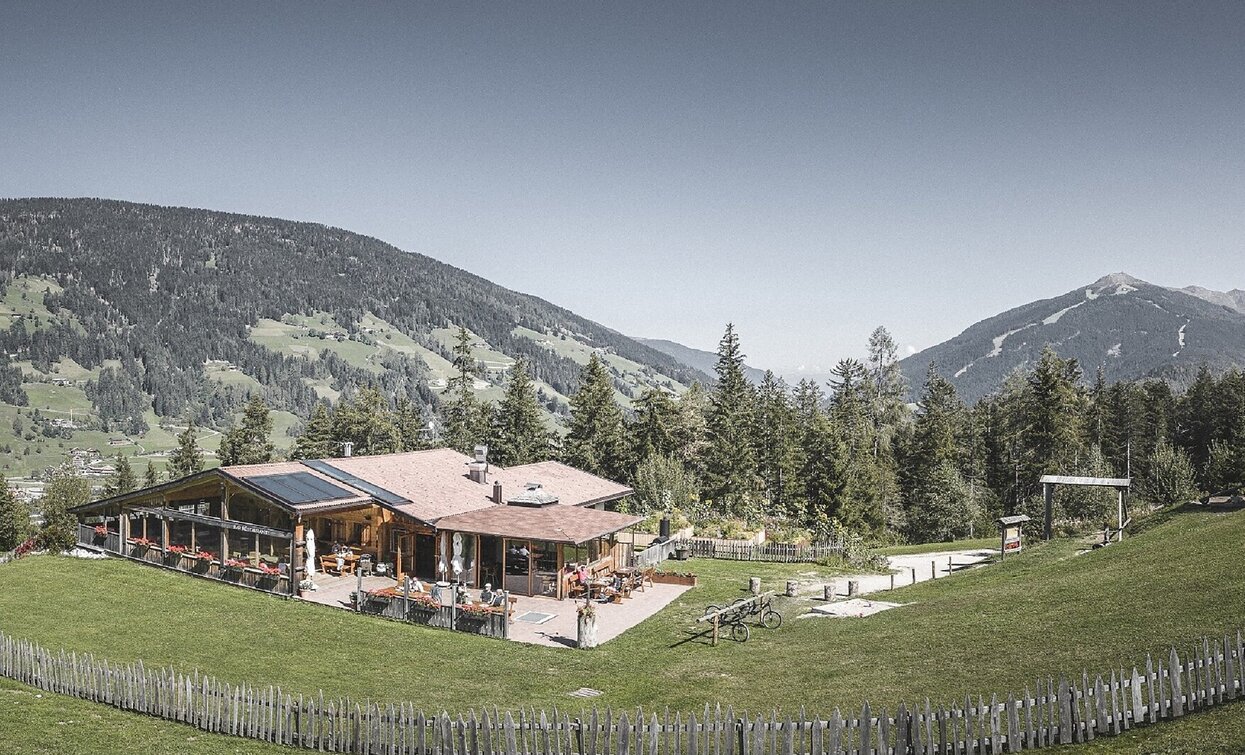
Very easy family hike to the Rifugio Jora/Jorahütte Mountain Hut.
Tags
- Linear route
- Suitable for strollers
- Family-friendly
Route info
Easy
Distance
1,2 km
Activity time
30 min
Ascent
139 m
Descent
0 m
Physical effort
Scenary
Highest point
1.318 m
Lowest point
1.175 m
Directions
1. walk from the parking lot of the Baranci chairlift on the way from No. 6 (20 min)
2. walk from the top station of the chairlift Baranci from the forest path beside
Doris slope (about 20 min)
3. walk from San Candido on route 7 (direction Sesto cycle) and the
Innichen thermal (about 1 hour)
public transportation
Getting to the starting point of the tour by public transport is possible (bus number 446 to the bus stop Innichen / Haunold or train 400 to Innichen / San Candido).
How to get there
Through the Alta Pusteria/Hochpustertal Valley to Innichen by bus, train or car. From there follow the signs to Monte Baranci/Haunold. Park the car at the parking of the chairlift.
You might be interested in
Discover related tours


