to the cable cars
Top

Family hike: Source of the Drava (Drau) River

Innichen
Add to favourites
Category
Difficulty
Easy
Activity time
0:45
Duration in hours
Distance
2.4
Distance in km
Suggested period
Jan
Feb
Mar
Apr
May
Jun
Jul
Aug
Sep
Oct
Nov
Dec

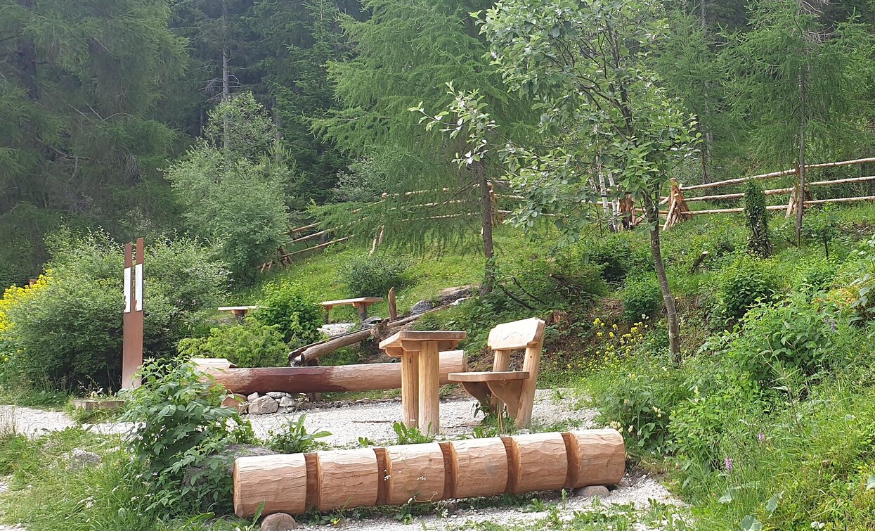
A very easy family hike with no significant inclines. The outward route goes almost entirely through woods, a very peaceful setting. The destination is the source of the Drava river between San Candido/Innichen and Dobbiaco/Toblach. You can drink the water directly from the little fountain: you're unlikely to find fresher, clearer water anywhere.

Tags
  • Suitable for strollers
  • Family-friendly
Route info
Easy
Distance
2,4 km
Activity time
45 min
Ascent
39 m
Descent
23 m
Physical effort
Scenary
Highest point
1.200 m
Lowest point
1.175 m
Directions

Park your car at the valley station of the Haunold chairlift or travel there by bus. The hike begins by going up to the tennis courts and then walking towards Dobbiaco on trail no. 28A to the source of the Drava. The nicest way to return is along the same route. Alternatively, you can continue on the same trail to Dobbiaco railway station (a further 45 minutes). From there you can easily return to San Candido by train.

public transportation
Getting to the starting point of the tour by public transport is possible (bus number 446 to the bus stop Innichen / Haunold or train 400 to Innichen / San Candido).
How to get there

Through the Alta Pusteria/Hochpustertal Valley to Innichen by bus, train or car. From there follow the signs to Monte Baranci/Haunold. Park the car at the parking of the chairlift.

You might be interested in
Discover related tours
Knieberg | © Harald Wisthaler, Sesto
Intermediate
Add to favourites
Sexten
Hike: Knieber/ Col Quaternà
Distance 19,7 km
Activity time 6 h 58 min
Ascent 883 m
Descent 883 m
Monte Rota/Ratsberg | © © DreiZinnenMarketing/M.Schönegger, Dobbiaco
Intermediate
Add to favourites
Toblach
Summer hiking tour: Toblach/Dobbiaco - Ratsberg/Monte Rota
Distance 4,5 km
Activity time 2 h 00 min
Ascent 393 m
Descent 5 m
Brückele - Plätzwiese | © Kotter Steger, Braies
Intermediate
Add to favourites
Pragser Tal
Summer hiking tour - Ponticello/Brückele - Prato Piazza/Plätzwiese
Distance 4,2 km
Activity time 1 h 47 min
Ascent 507 m
Descent 11 m
Pragser Tal
Summer track Lago di Braies - Malga Foresta/Pragser Wildsee - Grünwaldalm
Distance 2,2 km
Activity time 1 h 00 min
Ascent 118 m
Descent 18 m
rifugio Lavaredo | © @TVToblach, Dobbiaco
Intermediate
Add to favourites
Toblach, Pragser Tal
Summer hiking tour: Schluderbach/Carbonin - Dürrensteinhütte/Rifugio Vallandro hut
Distance 6,0 km
Activity time 2 h 00 min
Ascent 579 m
Descent 0 m
Steinberg-hut | © @TVToblach, Dobbiaco
Intermediate
Add to favourites
Toblach
Summer hiking tour to the Steinbergalm/Malga Steinberg hut with view of the Three Peaks
Distance 5,0 km
Activity time 2 h 00 min
Ascent 428 m
Descent 1 m