Top
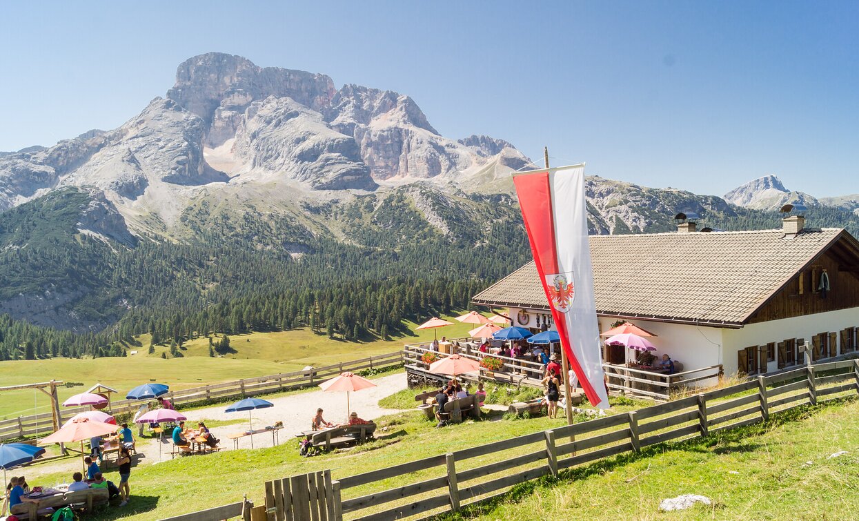
Family hiking tour - Parking space Plätzwiese High Plateau - Almhütte Plätzwiese hut
Pragser Tal
Add to favouritesCategory
Difficulty
Easy
Activity time
0:40
Duration in hours
Distance
1.5
Distance in km
Status
open
Suggested period
Jan
Feb
Mar
Apr
May
Jun
Jul
Aug
Sep
Oct
Nov
Dec
You make a excursion on a beautiful upland in the mids of the Natural Park!
Starting from the Plätzwiese highplateau car park, hike to the Bergasthaus Plätzwiese hut, turn left at the little church and follow hiking trail no. 40 until you reach the turn-off to the Dürrenstein/Picco di Vallandro. Turn right and the hiking trail nr. 40/A leads you directly to the Almhütte Plätzwiese hut.
Walking time: approx. 40 minutes
Walking time: approx. 40 minutes
Tags
- Linear route
- Family-friendly
Route info
Easy
Distance
1,5 km
Activity time
40 min
Ascent
85 m
Descent
10 m
Physical effort
Scenary
Highest point
2.032 m
Lowest point
1.967 m
public transportation
You can find all information about public transport on the website https://www.suedtirolmobil.info/en/#/
How to get there
Valley entrance Braies – road junction to Prato Piazza – continue until Ponticello.
You can find all the information you need about accessibility on the website www.braies.bz
Where to park
At the Plätzwiese High Plateau you can find a parking space for 100 cars.
You might be interested in
Discover related tours


