Category
Difficulty
Easy
Activity time
1:05
Duration in hours
Distance
3.4
Distance in km
Status
open
Suggested period
Jan
Feb
Mar
Apr
May
Jun
Jul
Aug
Sep
Oct
Nov
Dec
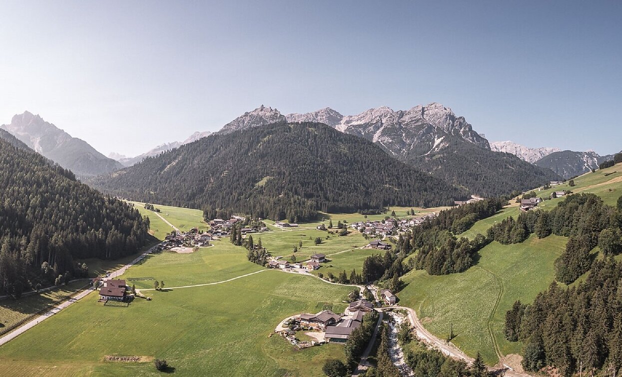
The sunny trail offers you a wonderful view ofer the valley and the mountainous panorama.
You walk on the approximately 4 kilometer long small asphalt road along the Monte di Braies/Pragser Berg Mountain from Ferrara di Braies/Schmieden to S. Vito/St. Veit. The sunny trail offers a wonderful view ofer the valley and the mountainous panorama. Walking time: 1,5 hours
Tags
- Linear route
- Family-friendly
Route info
Easy
Distance
3,4 km
Activity time
1 h
05 min
Ascent
195 m
Descent
73 m
Physical effort
Scenary
Highest point
1.410 m
Lowest point
1.220 m
Directions
You walk on the approximately 4 kilometer long small asphalt road along the Monte di Braies/Pragser Berg Mountain from Ferrara di Braies/Schmieden to S. Vito/St. Veit. The walking time is 1,5 hours.
public transportation
You can find all information about public transport on the website https://www.suedtirolmobil.info/en/#/
How to get there
After the valley entrance Braies – road junction to Pragser Wildsee lake turn right to "Schmieden/Ferrara"
You can find all the information you need about accessibility on the website www.braies.bz
Where to park
At Schmieden/Ferrara you can find a parking space!
You might be interested in
Discover related tours


