to the cable cars
Top

Family hiking tour: Villabassa/Niederdorf – Santa Maria/Aufkirchen

Toblach, Niederdorf
Add to favourites
Category
Difficulty
Easy
Activity time
2:00
Duration in hours
Distance
3.4
Distance in km
Suggested period
Jan
Feb
Mar
Apr
May
Jun
Jul
Aug
Sep
Oct
Nov
Dec
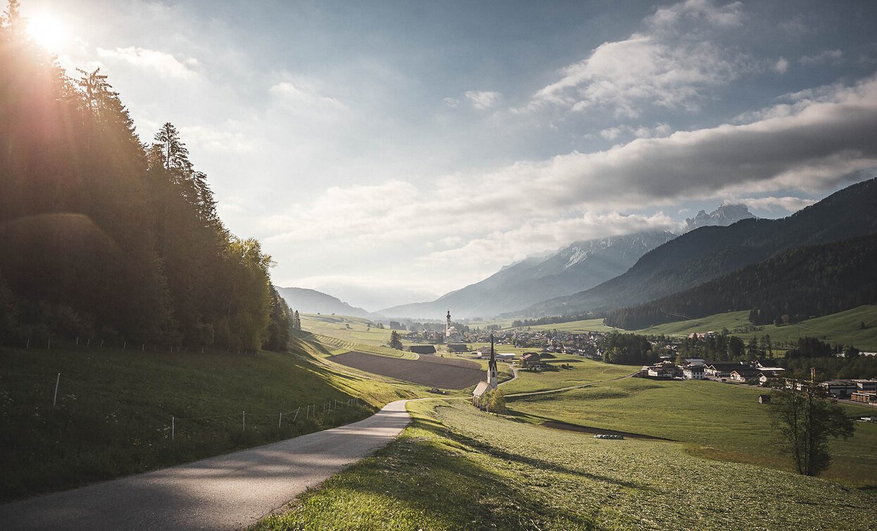
Pleasant walk from Niederdorf to Aufkirchen offering beautiful views of the surrounding landscape. Circular route, around 2 hours.

The walk starts in Niederdorf at Von-Kurz-Platz (main square). The route initially leads gently uphill along well-marked paths towards Aufkirchen, a small village with traditional buildings and stunning views of the surrounding countryside. The trail is well-maintained throughout and is ideal for families or leisurely hikers. In Aufkirchen, you reach the highest point of the walk at 1,300 meters. This is a great spot to take a short break and enjoy the view of the South Tyrolean mountains.

From there, the trail gently descends back to Niederdorf, forming a circular route. The entire walk takes about two hours and offers plenty of opportunities to enjoy nature. It's a perfect way to explore the region without too much effort.

Route info
Easy
Distance
3,4 km
Activity time
2 h 00 min
Ascent
600 m
Descent
600 m
Physical effort
Scenary
Highest point
1.320 m
Lowest point
1.154 m
public transportation

Niederdorf/Villabassa is easily accessible by public transport, such as buses and trains. Timetables are available at https://suedtirolmobil.info/en/

How to get there
The starting point is located in the center of Niederdorf, at Von Kurz Square. It is easily accessible by public transport: https://suedtirolmobil.info/en/
Where to park
A recommended parking area in Niederdorf/Villabassa is located at the western entrance to the village (“West Entrance”).
You might be interested in
Discover related tours
Toblach
Family walking tour: WoodWonderWorld - source of the Drau/Drava river
Distance 2,9 km
Activity time 1 h 00 min
Ascent 3 m
Descent 32 m
Pragser Tal
Summer hiking - Parking space Prato Piazza/Plätzwiese - Rif. Vallandro/Dürrensteinhütte
Distance 2,0 km
Activity time 32 min
Ascent 40 m
Descent 0 m
Golfen | © @TVToblach, Dobbiaco
Intermediate
Add to favourites
Toblach
Summer hiking tour: Franadega/Frondeigen- Monte Calvo/Golfen
Distance 5,4 km
Activity time 2 h 30 min
Ascent 834 m
Descent 9 m
Sexten
Hike: Helmrestaurant - Hahnspielhütte hut
Distance 1,1 km
Activity time 26 min
Ascent 99 m
Descent 99 m
Toblach
Summer-walk around the Silvestertal/Valle San Silvestro valley
Distance 3,4 km
Activity time 2 h 00 min
Ascent 103 m
Descent 103 m
Sexten
Walk: Gasthof Panorama agritourism – Helmhanghütte hut
Distance 1,0 km
Activity time 20 min
Ascent 53 m
Descent 9 m