Top

Family walking tour: "Grieswaldile"

Toblach
Add to favourites
Category
Difficulty
Easy
Activity time
1:30
Duration in hours
Distance
5.3
Distance in km
Suggested period
Jan
Feb
Mar
Apr
May
Jun
Jul
Aug
Sep
Oct
Nov
Dec
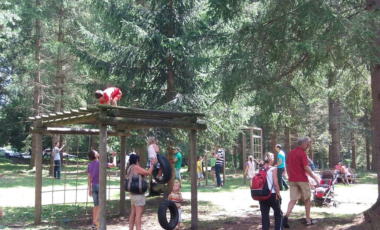
The walk is particularly recommended for families with children, as it is not too long and runs through the Grieswaldile adventure playground.

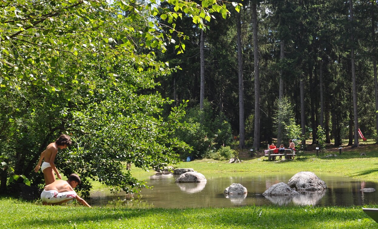
The "Grieswaldile" is a large park with Toblach's largest playground. It offers recreational opportunities, playgrounds and exciting equipment, as well as a small pond.


Suitable for pushchairs

Route info
Easy
Distance
5,3 km
Activity time
1 h 30 min
Ascent
97 m
Descent
97 m
Physical effort
Scenary
Highest point
1.239 m
Lowest point
1.189 m
Directions

The family hike leads from the village center along the Tiefenweg road to the Rienz district. From there, near the Rienz ski area, you can take the paved cycle path in a westerly direction to the Gratsch, district of Altschluderbach. There, the hike takes you over the main road when you cross it and then immediately continues on the path in the "Grieswaldile". A park with a keep-fit ​​path and a children's playground, which offers a lot of space and offers several playground equipment, a pond and recreational opportunities.The round tour continues straight ahead and gets back to the starting point.

public transportation
Accessible by public transport. The timetables are available on www.sii.bz.it.
How to get there
Where to park
Parking places are available.
You might be interested in
Discover related tours
Sexten
Hiking path: Sesto/Moso – Valley Fiscalina – Fondo Valle hut
Distance 6,6 km
Activity time 2 h 15 min
Ascent 230 m
Descent 230 m
Carnic high trail | © TV Sexten, Sesto
Intermediate
Add to favourites
Sexten, Innichen
Mountain hike: Carnic Alpine Ridgeway (Karnischer Höhenweg)
Distance 36,7 km
Activity time 8 h 30 min
Ascent 1.000 m
Descent 1.000 m
Status
Closed
Toblach, Pragser Tal, Niederdorf
Summer hiking tour - Braies Vecchia/Altprags - Moutain "Monte Serla/Sarlkofel"
Distance 4,9 km
Activity time 3 h 08 min
Ascent 1.010 m
Descent 59 m
Sexten
Mountain hike: Dolomites Alpine Ridgeway (Dolomiten-Höhenweg) No. 5
Distance 50,5 km
Activity time 23 h 03 min
Ascent 5.000 m
Descent 5.000 m
Sexten
Hiking path: Sexten- Val Fiscalina - Rif. Fondo Valle /Moos
Distance 4,7 km
Activity time 1 h 30 min
Ascent 190 m
Descent 190 m
Monte Pra della Vacca | © Steiner Erwin, Braies
Intermediate
Add to favourites
Pragser Tal
Summer hiking - Lago di Braies/Pragser Wildsee - Mountain "Monte Pra della Vacca/Kühwiesenkopf"
Distance 3,4 km
Activity time 2 h 01 min
Ascent 641 m
Descent 0 m