Family walking tour: Toblach/Dobbiaco - Toblach/Dobbiaco lake - Nature Educational Trail - Toblach
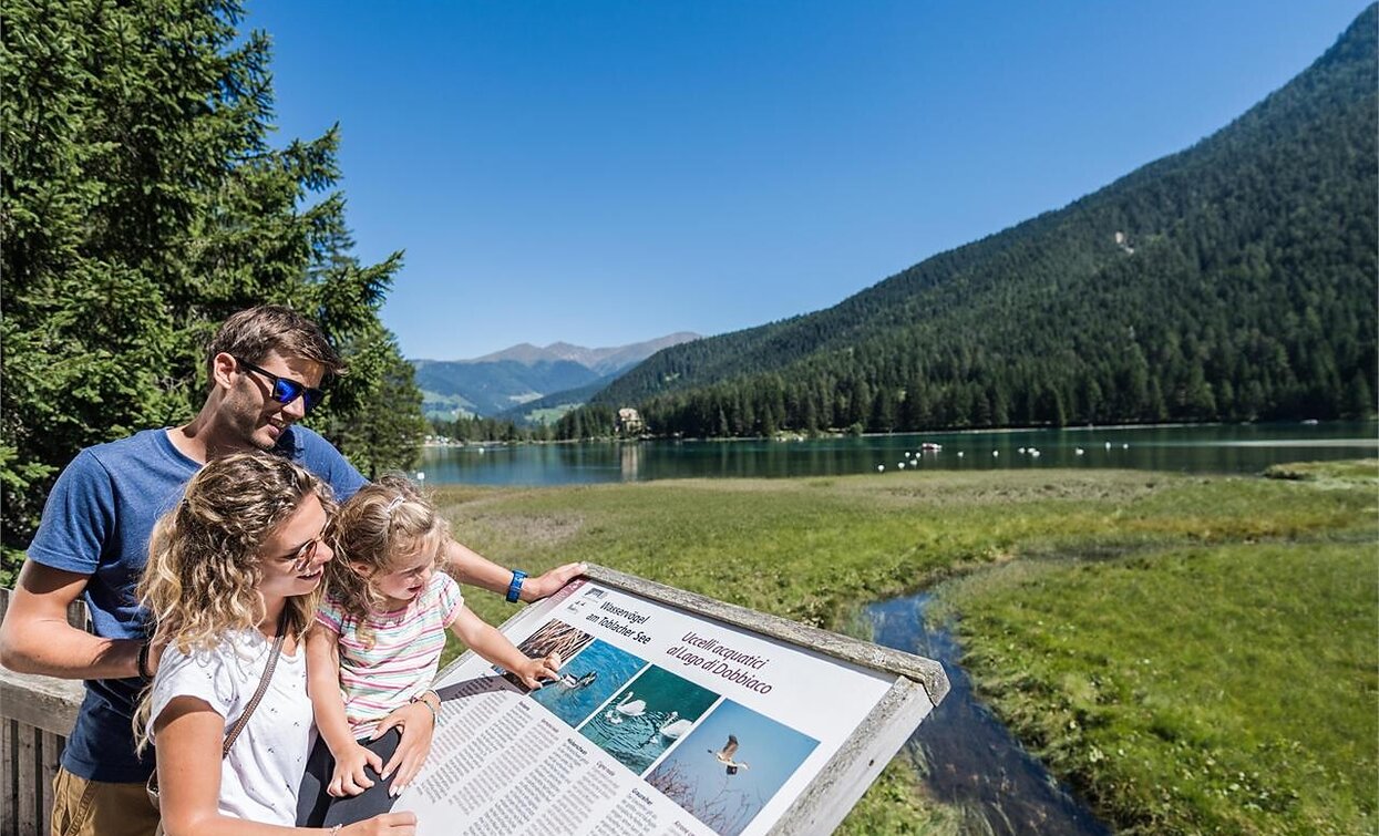
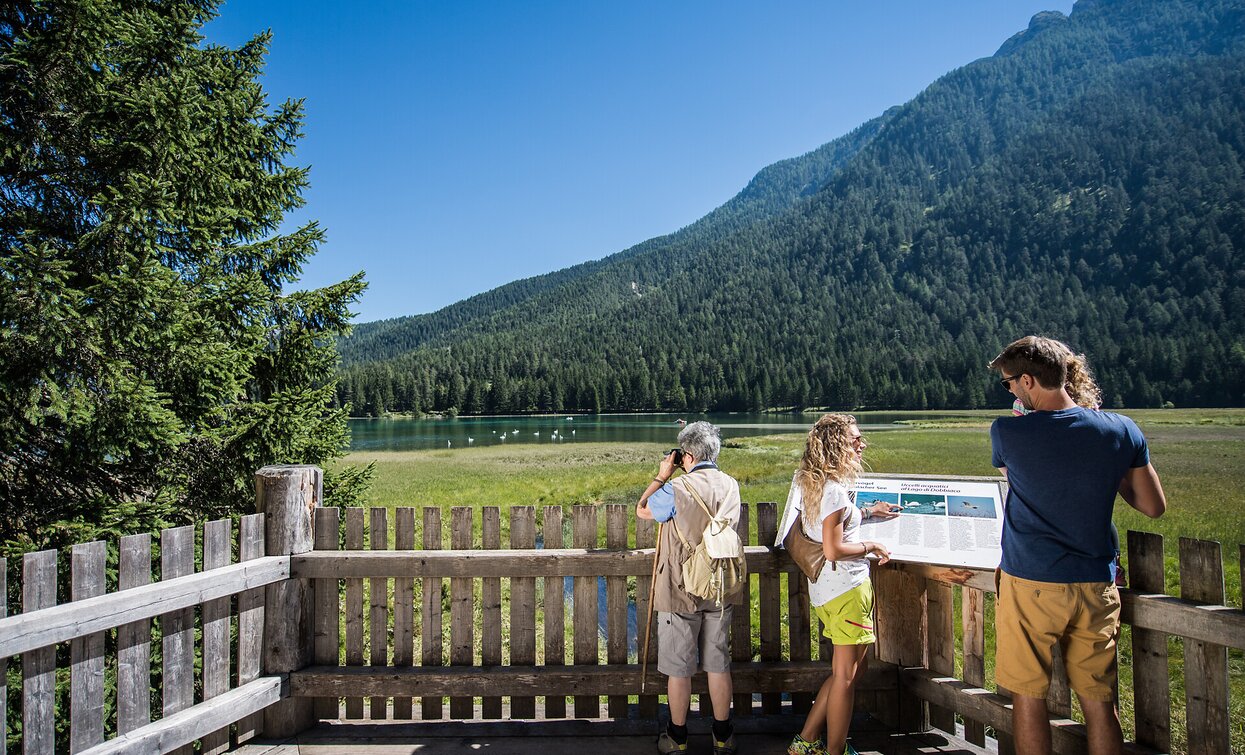
This family hike leads around the beautifully situated Toblacher See. A nature adventure trail with 11 stations around the lake provides valuable information about the flora, fauna and geomorphology of the area and, above all, explains the special features of Lake Dobbiaco. The viewing platform on the west bank offers a place to rest and a view of the flora and fauna and the silting zone. In addition, the special and very varied panorama of the circular route should be mentioned.
Suitable for pushchairs
Further information on the Toblacher water treasures:
https://www.drei-zinnen.info/de/toblach/toblach/toblach-erleben/toblacher-see-duerrensee-toblacher-wasserschaetze.html
- Suitable for strollers
- Family-friendly
The hike starts at the Toblach/Dobbiaco Tourist Office and leads in southern direction on the sidewalk. Immediately after the railroad crossing, the hike turns first to the right and after about 100 meters to the left. The paved road leads straight ahead to the cross-country stadium and, past this on the right, on to the village of Säge/Seghe. This is where the gravel path begins, which leads straight to Toblach/Dobbiaco lake.
The nature trail that leads around the Toblach lake begins on the west side of the lake.
The way back to the tourist office takes the same route as the way there.
Accessible by public transport. The timetables are available on www.sii.bz.it.
How to reach Toblach/Dobbiaco: https://www.drei-zinnen.info/en/dobbiaco/dobbiaco/contact-and-service/arrival-mobility.html
From Toblach in southern direction until the Tourist Office.
Parking places are available.


