Category
Difficulty
Difficult
Activity time
6:55
Duration in hours
Distance
11.6
Distance in km
Status
Closed
Suggested period
Jan
Feb
Mar
Apr
May
Jun
Jul
Aug
Sep
Oct
Nov
Dec
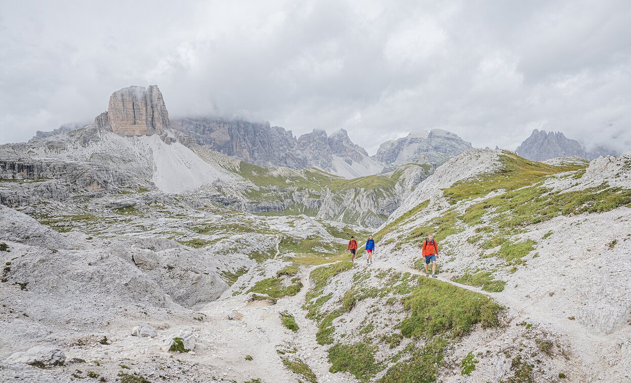
This long but absolutely beautiful hike offers you spectacular views at the 3 Cime, once you reach the Gwengalpenjoch/passo Alpe Mattina. The path is a bit steep. If you have a good physical constitution you may make a longer round reaching the Passo Rondoi/Wildgrabenjoch where you can see the 3 Cime even better. You can reach the Innerfeld valley by bus/shuttlebus or you plan your next tour ending in the Innerfeld valley where you have parked your car p.e. the wonderful Mount Gsell starting at the Fischleintal (see tour 2) You can also do the hike vice versa, but as described it is more beautiful.
Tags
- Linear route
Route info
Difficult
Distance
11,6 km
Activity time
6 h
55 min
Ascent
1.197 m
Descent
1.013 m
Physical effort
Scenary
Highest point
2.464 m
Lowest point
1.270 m
Directions
Take the bus/shuttle bus to Innerfeldtal, from where a wide path leads to the Dreischusterhütte (1626m). From the hut, follow trail no. 105 along the western edge of the valley floor to the crossroads. Stay on trail no. 105, which leads left over the gravel fields and the stream to the Gwengalpenjoch. The path winds steeply up to the Innichbacher Graben. We cross this and hike along further hairpin bends in front of the walls of the Morgenkofelturm and the Morgenkofel up to the saddle west of the Toblinger Knoten (2617 m) called Gwengalpenjoch. From here you can see the Three Peaks in their most beautiful splendor and the entire mountain scenery from the Braies mountains to Monte Piana, the Cortines mountains and, of course, the Sesto Dolomites. The path now leads past the Sesto Stone to the Three Peaks Hut (2405 m).
From the hut, take trail 102 north-eastwards via the Bödenalm with the two upper lakes and then through the picturesque Altensteintal valley, which is dominated to the south by the mighty Einserkofel, down to the valley head hut in the Fischleintal valley and on to the Dolomitenhof.
From there, take the bus or walk to Moos or take the bus to the entrance to the Innerfeldtal valley, where the car is parked.
A great crossing with peace and solitude (at least up to the Drei Zinnenhütte) with fantastic views.
public transportation
From July to September bus from the Innerfeldtal valley parking lot to the Antoniusstein
How to get there
By bus or car to the parking lot in Innerfeldtal valley
Road to the Antonisstein from July to September with traffic restrictions
Road to the Antonisstein from July to September with traffic restrictions
Where to park
Fee-based parking lot at the entrance to the Innerfeldtal valley
You might be interested in
Discover related tours


