Category
Difficulty
Intermediate
Activity time
6:05
Duration in hours
Distance
16.6
Distance in km
Status
Closed
Suggested period
Jan
Feb
Mar
Apr
May
Jun
Jul
Aug
Sep
Oct
Nov
Dec
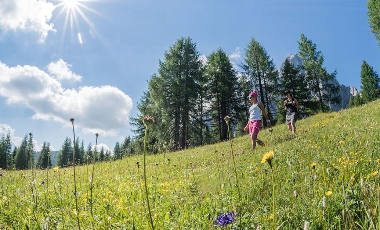
Challenging mountain hike on lonely paths -Pure silence and solitude away from the crowds -Ideal for nature lovers and peace seekers -Fantastic views of the surrounding mountain world
Route info
Intermediate
Distance
16,6 km
Activity time
6 h
05 min
Ascent
957 m
Descent
956 m
Physical effort
Scenary
Highest point
2.067 m
Lowest point
1.271 m
Directions
From Moos (1,346 m), take the Heideckstraße to the junction at "Liener Stoll," where a path leads west onto the Sexten Circular Trail (No. 1); follow this towards the Fischleintal valley, passing the Heideck fortress until the intersection with trail No. 12. Continue on trail No. 12 through shady forest, winding uphill until the Innergsell meadows open up above the tree line; a narrow path finally leads to the highest point of this extensive alpine pasture – the so-called "Rosshimmel" at 2,065 m, offering an impressive view of the mighty rock scenery of the Sexten Sundial. The path then leads briefly westward downhill, then across a scree field below the Gsellknoten over to the Außergsell (2,007 m); the descent initially follows trail No. 12A down to the picturesque meadows of the "Frohne" in Sexten, from where you comfortably return to the starting point in Moos. Since there is no managed hut along the way, it is recommended to bring sufficient provisions – numerous beautiful spots along the route invite you to enjoy a picnic.
public transportation
Line 446, Moos Church bus stop; alternatively, line 440 during the high season
How to get there
Coming from the Pustertal valley, turn off at Innichen into the Sexten valley. Coming from the Kreuzberg pass, follow the main road to Moos. Start anywhere in the centre of Moos.
Where to park
Parking is available in the center of Moos (limited time)
You might be interested in
Discover related tours


