to the cable cars

Hike: From the Rotwandwiesen meadows to the Kreuzberg pass

Sexten
Add to favourites
Difficulty
Intermediate
Activity time
1:20
Duration in hours
Distance
5.1
Distance in km
Suggested period
Jan
Feb
Mar
Apr
May
Jun
Jul
Aug
Sep
Oct
Nov
Dec

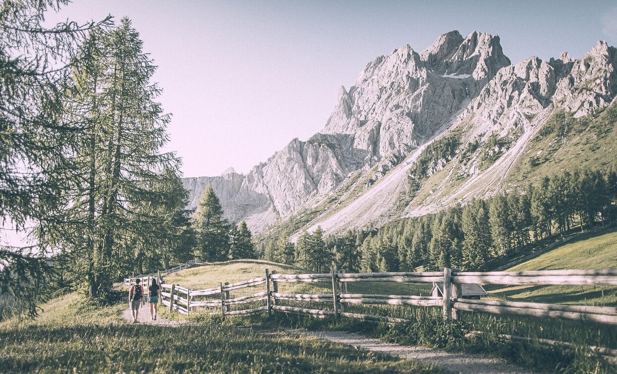
This is an easy but very nice hike, where you have the possibility to half it, going back by bus from the Passo Monte Croce. Many visible residuals from World War I. 

Route info
Intermediate
Distance
5,1 km
Activity time
1 h 20 min
Ascent
12 m
Descent
300 m
Technical skills
Physical effort
Scenary
Highest point
1.930 m
Lowest point
1.630 m
Directions

From Moos/Moso you take the lift to the Croda Rossa at an altitude of 1950m. Here starts the excursion on the path nr. 15. The path starts flat and arrives in a short wood and than follows under the rocks of the Croda Rossa, the Peak Nine (Neuner) and the Arzalpenkopf. Along the entire path you can see many rests of the World War I.

From the Passo Monte Croce you can take the bus to Moso or walk on the way nr. 13A next to the river and way 1 back to Moos/Moso. 

You might be interested in
Discover related tours
Innichen
Hike: Sexten – Innerfeldtal valley
Distance 5,2 km
Activity time 1 h 45 min
Ascent 362 m
Descent 0 m
Sexten
Hiking path: Moos - Klammbachalm hut
Distance 12,2 km
Activity time 4 h 10 min
Ascent 624 m
Descent 619 m
war cemetery | © © TvToblach, Dobbiaco
Intermediate
Add to favourites
Toblach
War Cemetery Track
Distance 11,4 km
Activity time 2 h 30 min
Ascent 112 m
Descent 112 m
Fischleintal | © Harald Wisthaler, Sesto
Intermediate
Add to favourites
Sexten
Hiking path: Moso – Fischleintal valley – Talschlusshütte hut
Distance 5,2 km
Activity time 50 min
Ascent 197 m
Descent 10 m
Sexten, Innichen
Theme hike: mountain station Helmjet cable car – Jägerhütte hut – Gasthof Waldruhe - Sexten
Distance 5,1 km
Activity time 1 h 30 min
Ascent 2 m
Descent 752 m
Sesto | © Harald Wisthaler, Sesto
Intermediate
Add to favourites
Sexten
Trailrunning: Sextner Rundweg circular trail
Distance 9,9 km
Activity time 1 h 50 min
Ascent 282 m
Descent 286 m