Category
Difficulty
Intermediate
Activity time
4:04
Duration in hours
Distance
9.4
Distance in km
Status
Closed
Suggested period
Jan
Feb
Mar
Apr
May
Jun
Jul
Aug
Sep
Oct
Nov
Dec
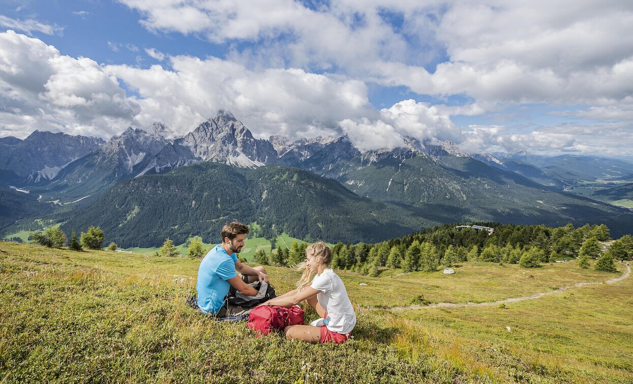
"There is no other place in the Alps where the peaks of a particular mountain group stand so directly and completely as here, the peaks of the Sesto Dolomites, so clear and uncluttered that you can walk through them with your eyes, so to speak, before you actually set foot on them".
What Karl Springerschmid wrote a few decades ago is still valid today.
What Karl Springerschmid wrote a few decades ago is still valid today.
Tags
- Linear route
Route info
Intermediate
Distance
9,4 km
Activity time
4 h
04 min
Ascent
1.229 m
Descent
1.229 m
Physical effort
Scenary
Highest point
2.550 m
Lowest point
1.338 m
Directions
From the mountain station of the Helmjet Sexten, a sandy road leads up a pleasant incline to the Hahnspielhü+tte and in a wide arc out to the south-west ridge of the Helm. Turn left here and zigzag along the rugged ridge directly to the summit of the Helm with the former customs house and a great panorama. The onward route to the Sillianer Hütte and on to Hornischegg is also clearly visible, mostly on the "Karnischer Höhenweg".
public transportation
Bus line 446 to Sexten Helm.
How to get there
By bus or car to Sesto Monte Elmo. From there, take the Helmjet Sesto cable car to the mountain station.
Where to park
Parking is available in the parking lot directly in front of the valley station of the Helmjet Sexten.
You might be interested in
Discover related tours


