to the cable cars

Hike: Hornischeck

Sexten
Add to favourites
Category
Difficulty
Intermediate
Activity time
4:25
Duration in hours
Distance
8.8
Distance in km
Suggested period
Jan
Feb
Mar
Apr
May
Jun
Jul
Aug
Sep
Oct
Nov
Dec

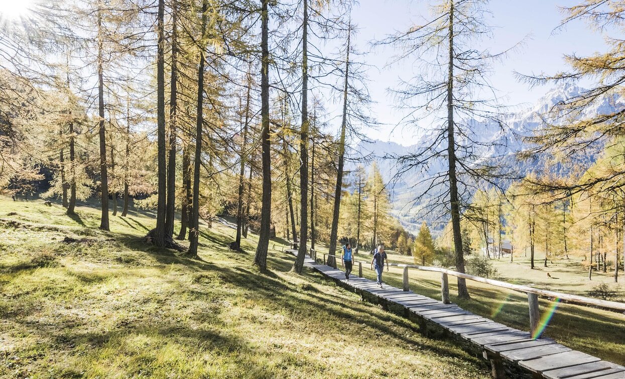
Easy alpine tour with a spectacular view of the Dolomites of Sesto.

Route info
Intermediate
Distance
8,8 km
Activity time
4 h 25 min
Ascent
1.208 m
Descent
67 m
Physical effort
Scenary
Highest point
2.548 m
Lowest point
1.342 m
Directions

The tour starts in Moos, right next to the Schäfer store. From there, follow Helmweg uphill, past the houses of Palmstatt until you cross a small bridge on the right side of the road. There, follow the signs for trail no. 1, cross the slope and walk along the fence up to the Kristlerhöfe and on to the Helmhanghütte. From here, keep to the right along the ski slope and continue past the hut to the Egge. Now follow trail no. 13, which is flat at first but then becomes increasingly steep. The trail leads through sparse forest and open terrain to the Klammbachalm/malga Klammbach (1,944 m) – a managed alpine pasture, ideal for a rest with a view. From the alpine pasture, the terrain becomes more open: over the ridge, continue climbing north on trail no. 133 until you reach a saddle at 2,418 m. From here, a wide, easily accessible ridge leads without difficulty to the summit of the Hornischeck (2,550 m). Once at the summit, an impressive panorama of the surrounding mountains of the Sesto Dolomites opens up – a real highlight of this tour. The return route is either via the same path back to Moos, or alternatively to the Helmjet Sexten cable car station or the Drei Zinnen cable car, and thus comfortably back down to the valley. Tip: The Drei Zinnen cable car can be used in advance to save a few meters of altitude – ideal for those who want to experience the summit without a long climb.

 

public transportation
Take the 446 bus to the Moos church stop.
How to get there
Via the state road from Sexten to Moos.
Where to park
Parking facilities at the public car parks.
You might be interested in
Discover related tours
east Gsell hike | © Tourismusverein Sexten_H.Wisthaler, Sesto
Intermediate
Add to favourites
Innichen, Sexten
Hike: Western "Gsell"
Distance 13,2 km
Activity time 5 h 05 min
Ascent 832 m
Descent 833 m
Saddle Giralba | © TV Sexten - Harald Wisthaler, Sesto
Intermediate
Add to favourites
Sexten
Multi-day Hike: Dolomites Alpine Ridgeway (Dolomiten-Höhenweg) No. 5
Distance 50,3 km
Activity time 18 h 25 min
Ascent 6.533 m
Descent 6.955 m
Val Campo di Dentro- Val Fiscalina | © Harald Wisthaler, Sesto
Intermediate
Add to favourites
Toblach, Innichen, Sexten
Hike: Innerfeldtal valley - Fischleintal valley
Distance 18,3 km
Activity time 6 h 55 min
Ascent 1.197 m
Descent 1.013 m
Alpine Hike | © Tourismusverein Sexten_H.Wisthaler, Sesto
Intermediate
Add to favourites
Sexten
Alpine tour: On the Seikofel I Monte Covolo
Distance 15,5 km
Activity time 4 h 55 min
Ascent 577 m
Descent 577 m
Toblach, Sexten
Hike: The Three-hut-hike
Distance 16,1 km
Activity time 6 h 45 min
Ascent 1.198 m
Descent 1.120 m
Hike through Innerfeldtal valley | © TV Sexten - Harald Wisthaler, Sesto
Intermediate
Add to favourites
Innichen
Hike: Circuit Hike Schwabenalpenkopf peak
Distance 20,8 km
Activity time 7 h 45 min
Ascent 1.238 m
Descent 1.236 m