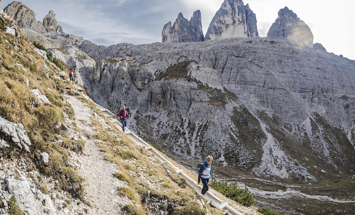
This long but absolutely beautiful hike offers you spectacular views at the 3 Cime, once you reach the Gwengalpenjoch/passo Alpe Mattina. The path is a bit steep. If you have a good physical constitution you may make a longer round reaching the Passo Rondoi/Wildgrabenjoch where you can see the 3 Cime even better. You can reach the Innerfeld valley by bus/shuttlebus or you plan your next tour ending in the Innerfeld valley where you have parked your car p.e. the wonderful Mount Gsell starting at the Fischleintal (see tour 2) You can also do the hike vice versa, but as described it is more beautiful.
The tour begins with a bus or shuttle ride to the Innerfeld Valley, from where a wide hiking trail leads to the Dreischusterhütte at 1,626 m. From the hut, the trail runs along the western edge of the valley floor on trail no. 105 to a crossroads, then continues over gravel areas and across the stream to the Innichbacher Graben. The trail climbs steeply in several hairpin bends beneath the walls of the Morgenkofel and its towering peak to the Gwengalpenjoch (2,446 m) – a saddle west of the Toblinger Knoten. Here, a spectacular panoramic view opens up: the Three Peaks stand imposingly in the foreground, flanked by the Pragser Dolomites, the mountains around Cortina, Monte Piana, and, of course, the Sesto Dolomites. The descent leads past trail no. 105 at Sextner Stein to the Dreizinnenhütte (2,405 m). From there, hike northeast on trail no. 102 via the Bödenalm with its two small lakes and continue through the impressive Altensteintal valley, which is dominated by the mighty south face of the Einserkofel, down to the Talschlusshütte hut in the Fischleintal valley. The return route follows the valley path to the Dolomitenhof and from there either on foot or by bus back to the starting point.
Starting point: Valley Innerfeldtal


