Category
Difficulty
Intermediate
Activity time
6:58
Duration in hours
Distance
19.7
Distance in km
Status
Closed
Suggested period
Jan
Feb
Mar
Apr
May
Jun
Jul
Aug
Sep
Oct
Nov
Dec
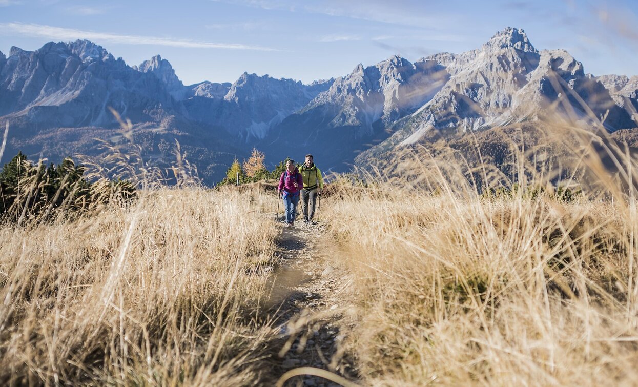
The Knieberg juts out a little from the Carnic Ridge extending south-eastwards from the peak of the Helm, offering outstanding views both of the Sexten Dolomites to the south-east and down into the Cadore-Piavetal valley. This trail still bears many traces of the First World War.
Route info
Intermediate
Distance
19,7 km
Activity time
6 h
58 min
Ascent
883 m
Descent
883 m
Physical effort
Scenary
Highest point
2.211 m
Lowest point
1.635 m
Directions
From the Kreuzberg pass, take trail no. 131 leads along the pleasant path across the footbridges on the swamp meadows to the Nemes Alp. From there, take the trail in an easterly direction on trail no. 146 on the northern side of the valley to the Kniebergsattel saddle. The trail goes right over serpentines to the ridge, then around the summit and from the south on an exposed path to the summit. The summit off ers a fantastic view of the meadows of the alpine pastures of Sexten/Sesto, the Dolomite peaks and, last but not least, the Comelico valley. Take trail no. 173 and later no. 149 down to the Coltrondo Alp and from there back to the starting point with little eff ort.
Attention: After the Coltrondo Alp make sure to take the path no. 149. The wide path leads to the village Padola.
Attention: After the Coltrondo Alp make sure to take the path no. 149. The wide path leads to the village Padola.
public transportation
Take bus 446 in the direction of Kreuzbergpass
How to get there
You go by car or bus to the Kreuzberpass. The hike starts from there.
Where to park
Fee-based parking lot next to the Hotel Kreuzbergpass
You might be interested in
Discover related tours


