Category
Difficulty
Intermediate
Activity time
6:25
Duration in hours
Distance
18.7
Distance in km
Suggested period
Jan
Feb
Mar
Apr
May
Jun
Jul
Aug
Sep
Oct
Nov
Dec
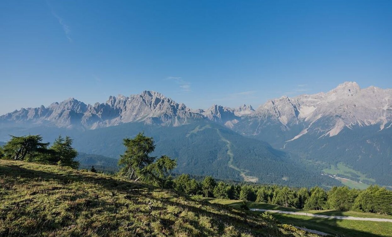
The Knieberg juts out a little from the Carnic Ridge extending south-eastwards from the peak of the Helm, offering outstanding views both of the Sexten Dolomites to the south-east and down into the Cadore-Piavetal valley. This trail still bears many traces of the First World War.
Route info
Intermediate
Distance
18,7 km
Activity time
6 h
25 min
Ascent
958 m
Descent
958 m
Physical effort
Scenary
Highest point
2.496 m
Lowest point
1.634 m
Directions
From the Kreuzberg Pass (accessible by bus or car – parking subject to a fee), hike along trail no. 131 through picturesque high moorland meadows to the Nemesalm (1,877 m), where vast pastures with horses and cows stretch out against the impressive backdrop of the Sesto Dolomites. From the alpine pasture, continue east on trail no. 146 along the northern side of the valley, finally climbing a little more steeply over the Dechantmahd with a small shepherd's hut up to the Kniebergsattel (2,329 m). There, the trail branches off to the left to the Obstanserseehütte hut and the Carnic High Trail. Keeping to the right, you reach a ridge via well-laid serpentines above trail no. 148. From there, you circle the summit on the south side via a scree field and finally climb to the summit of the Knieberg via a slightly exposed but easily accessible path. The descent is via trails no. 173 and no. 149 down to the Coltrondo Alm, past the idyllic Lago dei Rospi, and finally back to the Kreuzberg Pass. From here, you can hike along the stream to Moos or return comfortably by bus.
How to get there
You take with the bus o the car the Pass Monte Croce.
You might be interested in
Discover related tours


