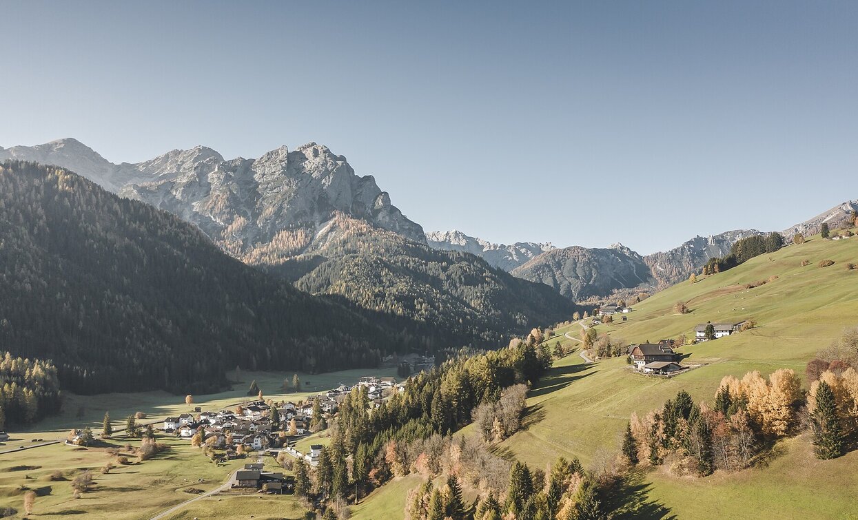
Hike: San Candido - Costa dei Nosellari/Haselsberg - Dobbiaco

Toblach, Innichen
Add to favourites
Category
Difficulty
Easy
Activity time
1:50
Duration in hours
Distance
4.8
Distance in km
Status
Closed
Suggested period
Jan
Feb
Mar
Apr
May
Jun
Jul
Aug
Sep
Oct
Nov
Dec

Leaving the town towards west, shortly before the gas station, turn right and go up until the Hotel "Schopfenhof". From there go straight ahead and you will pass several farms until arriving to Dobbiaco/Toblach. Return by bus or train. Otherwise you can also return on foot, starting from the train station in "Neutoblach" and following the bike route along the rails to San Candido/Innichen.

Route info
Easy
Distance
4,8 km
Activity time
1 h 50 min
Ascent
161 m
Descent
111 m
Physical effort
Scenary
Highest point
1.380 m
Lowest point
1.175 m
public transportation
Getting to the starting point of the tour by public transport is possible.
How to get there

You can reach Innichen / San Candido easily by train, by bus or by car. Please contact the Tourist Info Innichen / San Candido to get information about timetables and free parking areas.

You might be interested in
Discover related tours
Sexten
Excursions with buggy: The meditation path
Distance 2,2 km
Activity time 1 h 01 min
Ascent 213 m
Descent 213 m
Val Campo di Dentro / Innerfeldtal - Rif. Tre Scarperi / Dreischusterhütte | © Tourismusverein Innichen, San Candido
Intermediate
Add to favourites
Sexten, Innichen
Snowshoe hike: Val Campo di Dentro/Innerfeldtal Valley
Distance 11,3 km
Activity time 3 h 30 min
Ascent 369 m
Descent 369 m
Wöggenalm Wanderung | © Kotter Steger, Braies
Intermediate
Add to favourites
Pragser Tal
Family hiking tour - St. Veit/San Vito - Wöggenalm/Malga "Wöggen"/Wöggenalm
Distance 2,4 km
Activity time 1 h 04 min
Ascent 309 m
Descent 10 m
Sexten
Hiking path with buggy: Gasthof Panorama – Pendio Monte Elmo hut
Distance 1,1 km
Activity time 20 min
Ascent 60 m
Descent 60 m
Toblach
Summer hike: Höhlensteintal/Val di Landro valley - Birkenschartl/Forcella dei Baranci
Distance 5,2 km
Activity time 3 h 30 min
Ascent 1.234 m
Descent 7 m
Innichen
Family hike: Source of the Drava (Drau) River
Distance 2,4 km
Activity time 45 min
Ascent 39 m
Descent 23 m
Status
Closed