to the cable cars

Hike: San Candido/Innichen - Piccola Rocca dei Baranci/Haunoldköpfl Mountain

Innichen
Add to favourites
Category
Difficulty
Difficult
Activity time
3:30
Duration in hours
Distance
8
Distance in km
Suggested period
Jan
Feb
Mar
Apr
May
Jun
Jul
Aug
Sep
Oct
Nov
Dec

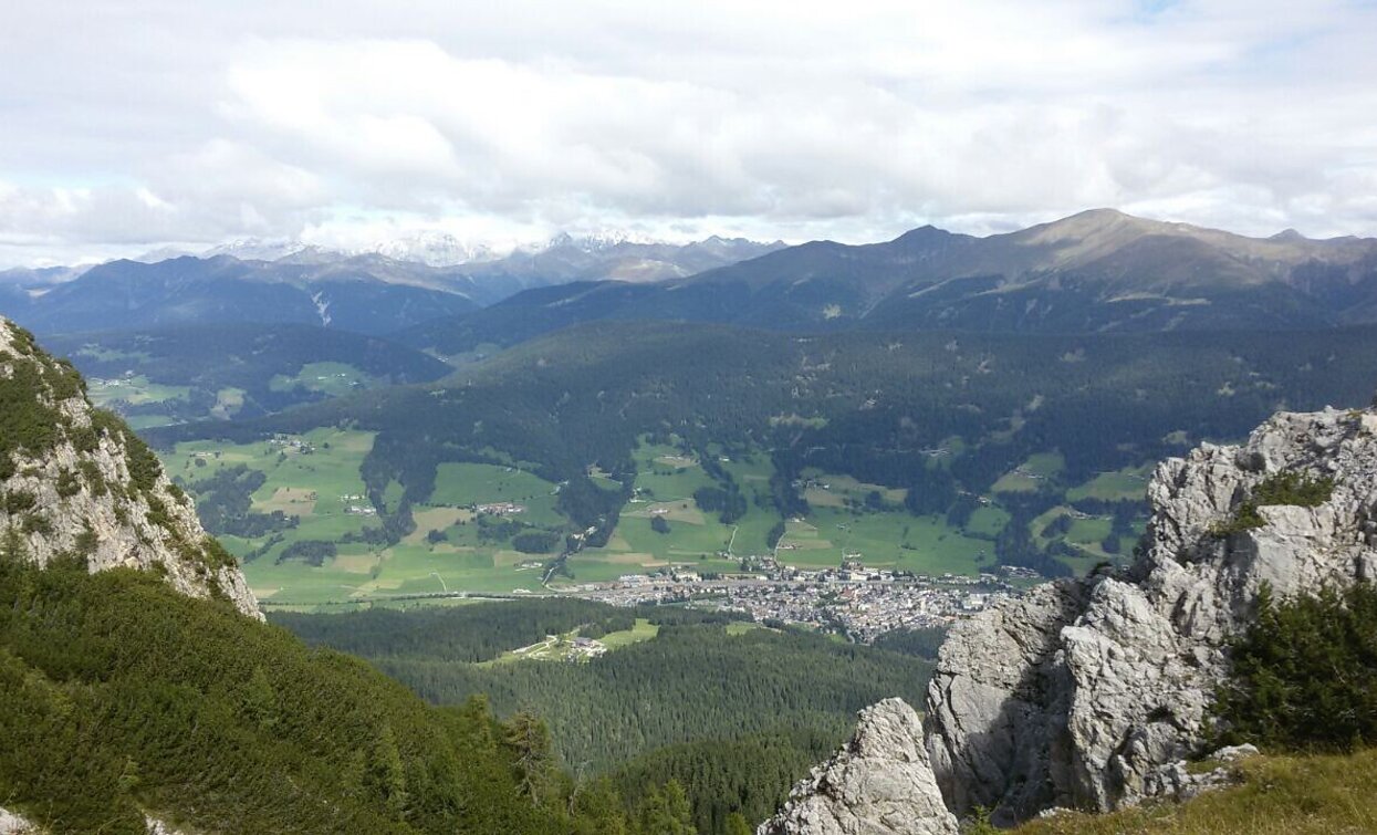
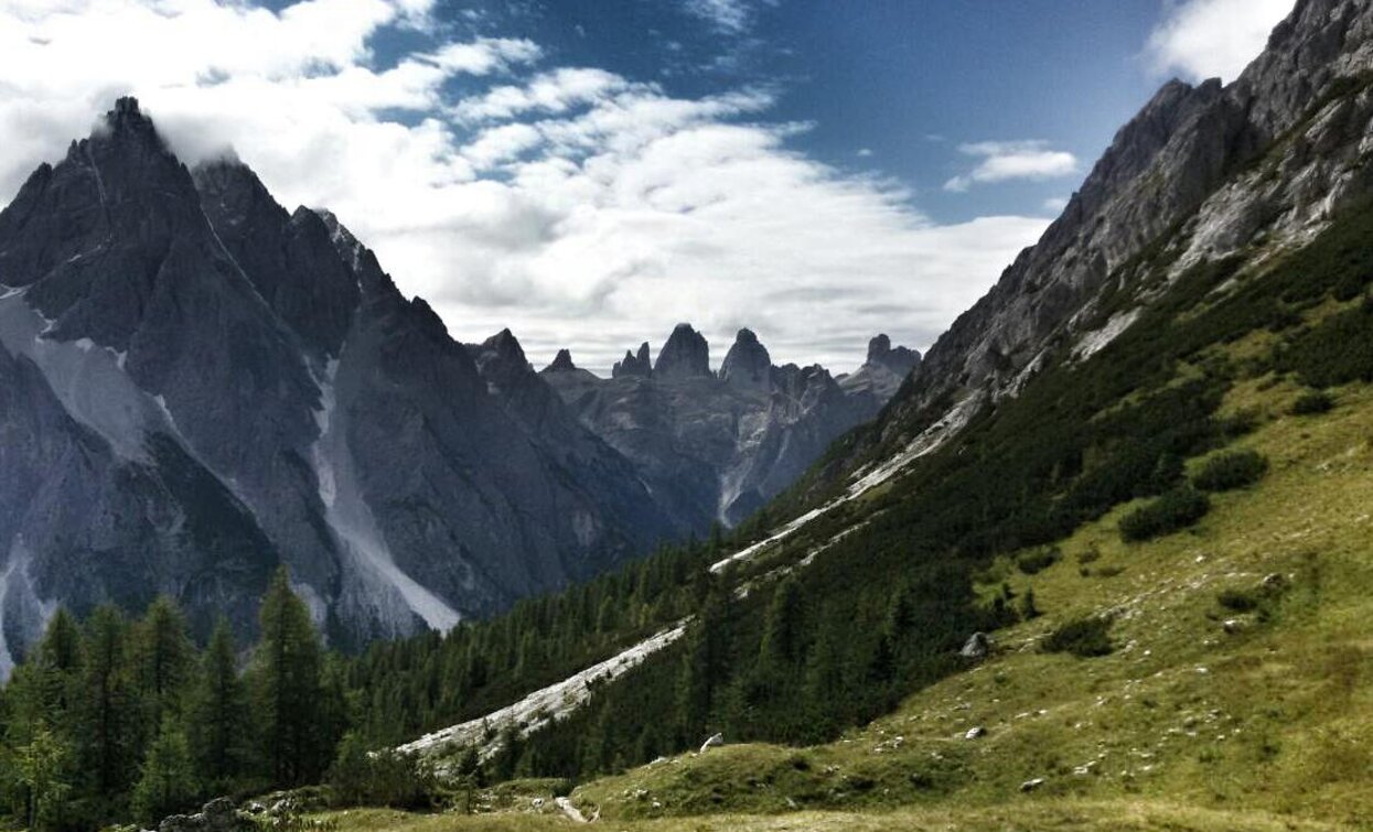
Quite a challenging hike to the Haunoldköpfl panoramic mountain south of San Candido/Innichen. The hiking trail becomes quite steep in some places towards the end. However, when you reach the summit you have a breathtaking view of San Candido that makes all your efforts worthwhile. There is also a section during the climb up where you can catch a glimpse of all three of the Three Peaks.

Route info
Difficult
Distance
8,0 km
Activity time
3 h 30 min
Ascent
993 m
Descent
21 m
Physical effort
Scenary
Highest point
2.158 m
Lowest point
1.175 m
Directions

It is best to park your car at the valley station of the Haunold chairlift or travel there by bus. From there you go up to the Erschbaum pizzeria and to the right along forest road no. 28 until trail no. 6 forks off to the left a little way further up. This takes you to the Riese Haunold Hütte mountain hut. Just opposite the mountain station of the chairlift, the forest road continues until it meets trail no. 7, which you follow past the Gemeindekaser hut (not staffed) to the top of the Haunoldköpfl.

public transportation

Getting to the starting point of the tour by public transport is possible (bus number 446 to the bus stop Innichen / Haunold or train 400 to Innichen / San Candido).

How to get there

Through the Alta Pusteria/Hochpustertal Valley to Innichen by bus, train or car. From there follow the signs to Monte Baranci/Haunold. Park the car at the parking of the chairlift.

You might be interested in
Discover related tours
Putzalm | © Putzalm, Villabassa
Intermediate
Add to favourites
Niederdorf
Summer hiking tour Villabassa/Niederdorf - Putzalm
Distance 4,7 km
Activity time 2 h 40 min
Ascent 609 m
Descent 13 m
Toblach, Niederdorf
Summer-walk around Altschluderbach/Carbonin Vecchia
Distance 10,6 km
Activity time 3 h 00 min
Ascent 220 m
Descent 220 m
Helm | © Harald Wisthaler, Sesto
Intermediate
Add to favourites
Innichen, Sexten
Hike: The Smuggler Trail
Distance 10,7 km
Activity time 3 h 40 min
Ascent 391 m
Descent 1.093 m
Plätzwiese High Plateau | © Eder, Tourismusverein Pragser Tal, Braies
Intermediate
Add to favourites
Pragser Tal
Family hiking tour - Parking space Plätzwiese High Plateau - Dürrensteinhütte Hut
Distance 2,4 km
Activity time 40 min
Ascent 60 m
Descent 0 m
Pragser Tal
Summer hiking tour - Ferrara Circuit
Distance 4,8 km
Activity time 1 h 22 min
Ascent 136 m
Descent 136 m
Innichen, Sexten
Hike: Sesto - "Alte Säge"
Distance 3,7 km
Activity time 55 min
Ascent 4 m
Descent 65 m