to the cable cars

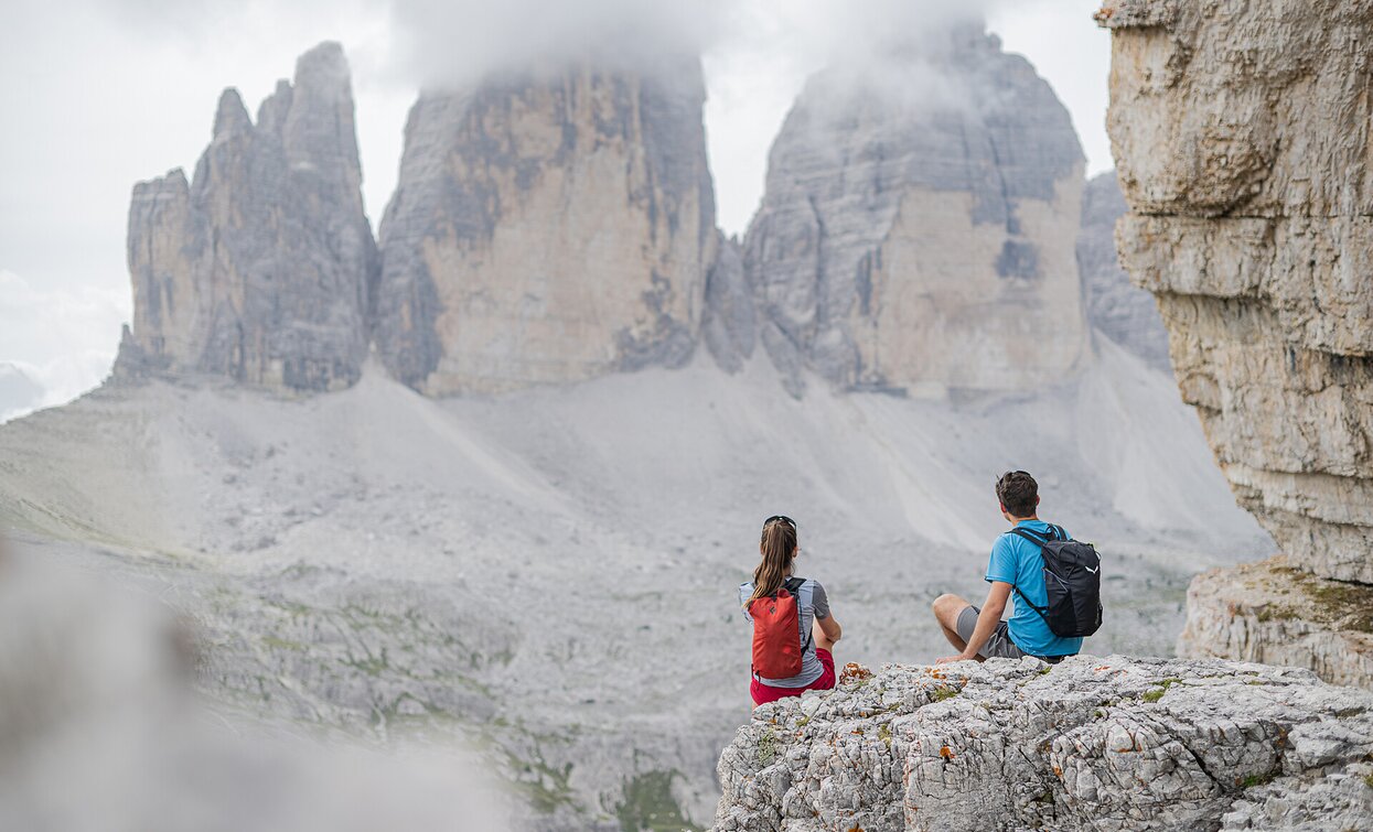
Hike: Sextner Stein, Three Peaks

Toblach, Sexten
Add to favourites
Category
Difficulty
Difficult
Activity time
3:50
Duration in hours
Distance
6.7
Distance in km
Suggested period
Jan
Feb
Mar
Apr
May
Jun
Jul
Aug
Sep
Oct
Nov
Dec

A moderately difficult tour from the Val Fiscalina/Fischleintal valley, with a fantastic view of the Tre Cime/Drei Zinnen (“Three peaks”). Starting point: Parking Val Fiscalina Highest point: 2539

Route info
Difficult
Distance
6,7 km
Activity time
3 h 50 min
Ascent
1.097 m
Descent
3 m
Physical effort
Scenary
Highest point
2.543 m
Lowest point
1.449 m
How to get there

Starting point: Parking Val Fiscalina

You might be interested in
Discover related tours
Sexten
Hiking path with buggy: Gasthof Panorama – Pendio Monte Elmo hut
Distance 1,0 km
Activity time 20 min
Ascent 53 m
Descent 9 m
Rifugio Tre Scarperi Drei Schuster Hütte Mountain Hut Innichen San Candido | © Tourismusverein Innichen, San Candido
Intermediate
Add to favourites
Sexten, Innichen
Winter hike: Rifugio Tre Scarperi/Drei Schuster Hütte Mountain Hut
Distance 11,3 km
Activity time 3 h 30 min
Ascent 374 m
Descent 374 m
Toblach
Summer hiking tour: Toblach/Dobbiaco - Fontanta "ZweiWasserBrunnen" - labyrinth
Distance 3,3 km
Activity time 2 h 00 min
Ascent 182 m
Descent 66 m
Gsell | © Harald Wisthaler, Sesto
Intermediate
Add to favourites
Innichen, Sexten
Hike: Western round Gsellwiesen meadows
Distance 10,7 km
Activity time 4 h 10 min
Ascent 735 m
Descent 735 m
Innerfeldtal - Val Campo di Dentro valley / Dreischusterhütte - Rifugio Tre Scarperi mountain refuge | © Dreischusterhütte / Rifugio Tre Scarperi, San Candido
Intermediate
Add to favourites
Sexten, Innichen
Hike: Rifugio Tre Scarperi/Dreischusterhütte Mountain Hut
Distance 11,3 km
Activity time 3 h 30 min
Ascent 369 m
Descent 369 m
Knieberg | © Harald Wisthaler, Sesto
Intermediate
Add to favourites
Sexten
Hike: Knieber/ Col Quaternà
Distance 19,7 km
Activity time 6 h 58 min
Ascent 883 m
Descent 883 m