Category
Difficulty
Intermediate
Activity time
3:50
Duration in hours
Distance
7.6
Distance in km
Status
Closed
Suggested period
Jan
Feb
Mar
Apr
May
Jun
Jul
Aug
Sep
Oct
Nov
Dec
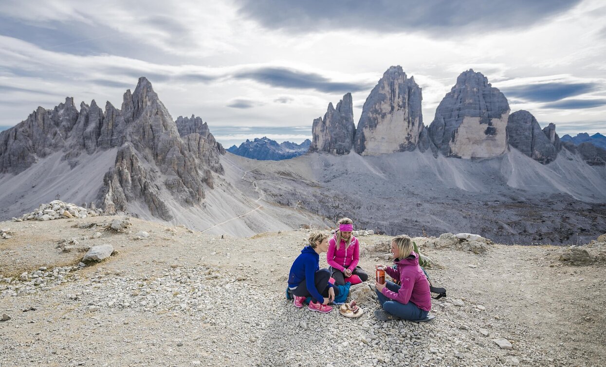
Dream panorama in the Sexten Dolomites.
- Challenging tour from the Fischleintal valley with a magnificent view of the Three Peaks
- Consistently easy hiking trails in alpine terrain
- Highlight tour in the Sexten Dolomites
Tags
- Linear route
Route info
Intermediate
Distance
7,6 km
Activity time
3 h
50 min
Ascent
1.086 m
Descent
2 m
Physical effort
Scenary
Highest point
2.533 m
Lowest point
1.453 m
Directions
The starting point of this panoramic tour is the parking lot at the Fischleinbodenhütte in the Fischleintal valley, which is easily accessible by car or bus from Sexten or Moos (subject to a fee). From the parking lot, hike south along the wide valley path through flat terrain to the Talschlusshütte. After the hut, the path branches right into the Altensteintal valley (trail No. 102) and leads westward up to the Bödenalpe. Continue along the foot of the imposing Toblinger Knoten before the final ascent to the Sextnerstein begins. Once at the summit, an incomparable view opens up directly onto the north faces of the Three Peaks – majestic and within reach – flanked by the striking Paternkofel, which rises beside them like a stone tower. The return journey follows the same route.
public transportation
Line 446, Fischleinboden bus stop; during high season alternatively also line 440
How to get there
Coming from the Pustertal valley, turn off at Innichen into the Sextnertal valley; coming from the Kreuzberg pass, follow the main road to Moos; at the Restaurant Leone, turn off into the Fischleintal valley and drive to the end of the accessible road.
Where to park
Parking possibility at Fischleinboden (subject to a fee)
You might be interested in
Discover related tours


