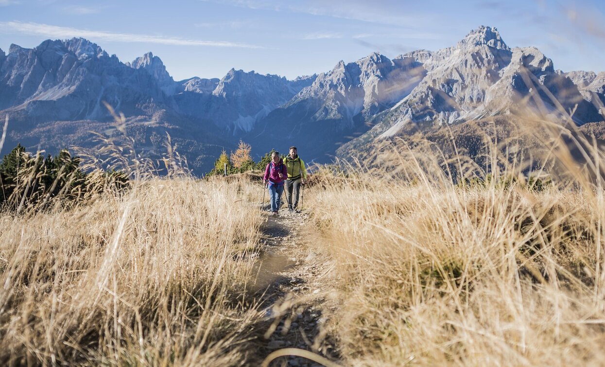
This easy round walk brings you on the top of the Mount Elmo. It is one of the most beautiful vista points and offers a 360 ° view with the central Alps mountains in the north and the many, many Dolomites peaks in the south. This tour is ok also for a half day trip.
- Linear route
ATTENTION: Due to construction work, the trail does not pass directly by the summit of Helm mountain. Hikers will be diverted onto a marked path a few meters below the summit.
From the funicular of the Monte Elmo. With the funicular up and on the left side behind the big Mount Elmo Restaurant starts our way nr. 20 going up. It is a pleasant little path which comes quickly out of the woods and reaches a minor peak the Hasenköpfl (2226 m) with the central Alps in the north. The last part of the way goes steep up to the top of the Monte Elmo. Here you have a wonderful panoramic view at 360 ° with the Großglockner in the North and all the Dolomites in the south. For the descent you can take the steep way nr. 3A which goes down directly or the large practical way nr. 20 which remains on the crest going first east and than turning back passing the Gallo Cedrone hut and arriving at the funicular of the Monte Elmo. If you still have power there is the possibility to walk home by passing the Lärchen Hut – die Egge – Helmhanghütte – Moos. Calculate 1,5 h – 2 h more. Variant: from the Mount Elmo peak on the crest to the Sillian hut (Austria) – down to Klammbach and back to Moos. Summary: a very nice round tour with panoramic views – with good weather absolutely a must!
From Sesto to the valley station of the cabe car Helmjet


