ATTENTION: Construction work will be carried out on hiking trail no. 101 from 26 June to 4 July 2025. The section between Rif. Pian di Cengia and Rif. Locatelli can be bypassed via hiking trail no. 104 in the direction of the Lavaredo hut or via ferrata in the direction of Monte Paterno. Hiking trail no. 104 is easy to follow.
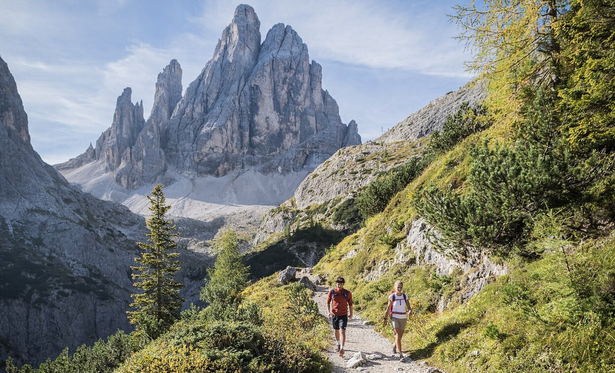
The tour begins at the parking lot at Dolomitenhof (1,454 m), which can be reached by bus, car (parking fee applies), or in about 45 minutes on foot from Sexten. From there, an easy trail leads to the Talschlusshütte (1,548 m). At the hut, turn right onto trails no. 102/103 into the Altensteintal valley and climb briefly uphill to a fork in the trail. Here, switch to trail no. 103 on the left and continue uphill above the Bacherntal valley to the Zsigmondyhütte (2,235 m) – one of the most beautiful vantage points with views of the Elferstock and the striking Zwölfer. From the hut, the marked high trail no. 101 leads westward over stony, partly rocky terrain, climbing slightly to the Oberbachernjoch. Keeping to the right here, you will soon reach the Büllelejochhütte (2,528 m) – the highest point of the tour. Tip: A short detour (approx. 30 minutes) to the summit cross of the Oberbachernspitze is well worth it – fantastic panoramic views included! From the Büllelejoch (2,522 m), the trail descends steeply for a while on the north side over a scree field. This is followed by a beautiful, almost flat section of the hike with an unobstructed view of the Dreischusterspitze, which leads to the impressive Dreizinnenhütte (2,405 m) at Toblinger Riedl. Here you can enjoy one of the most impressive views of the Three Peaks – a must for all those who love the Dolomites. The descent follows trail no. 102 in a northeasterly direction via the Bödenalm with its two idyllic lakes. It then continues through the Altensteintal valley, dominated by the mighty Einserkofel, back to the Talschlusshütte hut and on to the car park at the Dolomitenhof.
Starting point: Parking area at the Dolomitenhof hotel (1.454 m)


