to the cable cars

Hike: Western "Gsell"

Innichen, Sexten
Add to favourites
Category
Difficulty
Intermediate
Activity time
5:05
Duration in hours
Distance
13.2
Distance in km
Suggested period
Jan
Feb
Mar
Apr
May
Jun
Jul
Aug
Sep
Oct
Nov
Dec

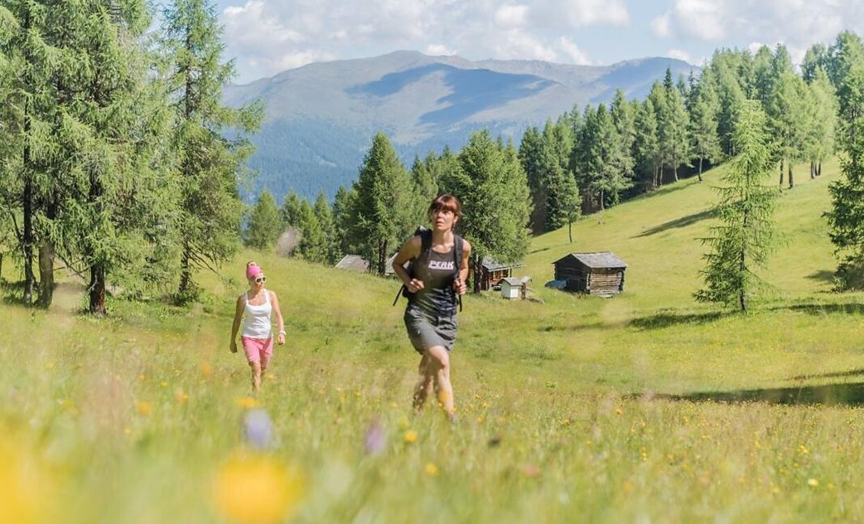
A quiet and peaceful hike with a wonderful panoramic view - an insider's tip for nature lovers.

Route info
Intermediate
Distance
13,2 km
Activity time
5 h 05 min
Ascent
832 m
Descent
833 m
Physical effort
Scenary
Highest point
2.067 m
Lowest point
1.283 m
Directions

From the district heating plant in Sexten, follow the forest trail marked No. 12B and hike steadily uphill through the Gselltal valley. The trail is steep in places, but is easy to walk on and leads through shady forest to the summit of Außergsell. From there, continue along a slightly flatter ridge on trail no. 12 to Innergsell. The extensive mountain meadows are a colorful sea of flowers, especially in summer. The descent is via trail no. 12 into the Fischleintal valley, where you take the Sextner Rundweg (trail no. 1), which leads back to the starting point at the district heating plant. There are no mountain huts along the entire route, so it is advisable to bring sufficient provisions with you – there are numerous idyllic spots along the way that are ideal for picnics.

How to get there

The hike starts at Sesto, path nr. 12

You might be interested in
Discover related tours
Hochebenkofel | © Tourismusverein Innichen, San Candido
Intermediate
Add to favourites
Toblach, Innichen
Alpine Tour: Hochebenkofel/Cima Piatta Alta Peak
Distance 8,0 km
Activity time 10 h 00 min
Ascent 1.392 m
Descent 0 m
Status
Closed
Sextner Stein | © Harald Wisthaler, Sesto
Intermediate
Add to favourites
Toblach, Sexten
Hike: Sextner Stein
Distance 7,6 km
Activity time 3 h 50 min
Ascent 1.086 m
Descent 2 m
Niederdorf, Toblach
Villabassa/Niederdorf - Monte Serla / Sarlkofel
Distance 7,4 km
Activity time 4 h 03 min
Ascent 1.254 m
Descent 21 m
Hike on Helm | © 3 Zinnen Dolomites - Harald Wisthaler, Sesto
Intermediate
Add to favourites
Sexten
Mountain Hike: Helm I Monte Elmo
Distance 4,9 km
Activity time 3 h 20 min
Ascent 1.091 m
Descent 1 m
Helm | © Harald Wisthaler, Sesto
Intermediate
Add to favourites
Sexten
Hike: Hornischeck
Distance 8,8 km
Activity time 4 h 25 min
Ascent 1.208 m
Descent 67 m
Saddle Giralba | © TV Sexten - Harald Wisthaler, Sesto
Intermediate
Add to favourites
Sexten
Multi-day Hike: Dolomites Alpine Ridgeway (Dolomiten-Höhenweg) No. 5
Distance 50,3 km
Activity time 18 h 25 min
Ascent 6.533 m
Descent 6.955 m