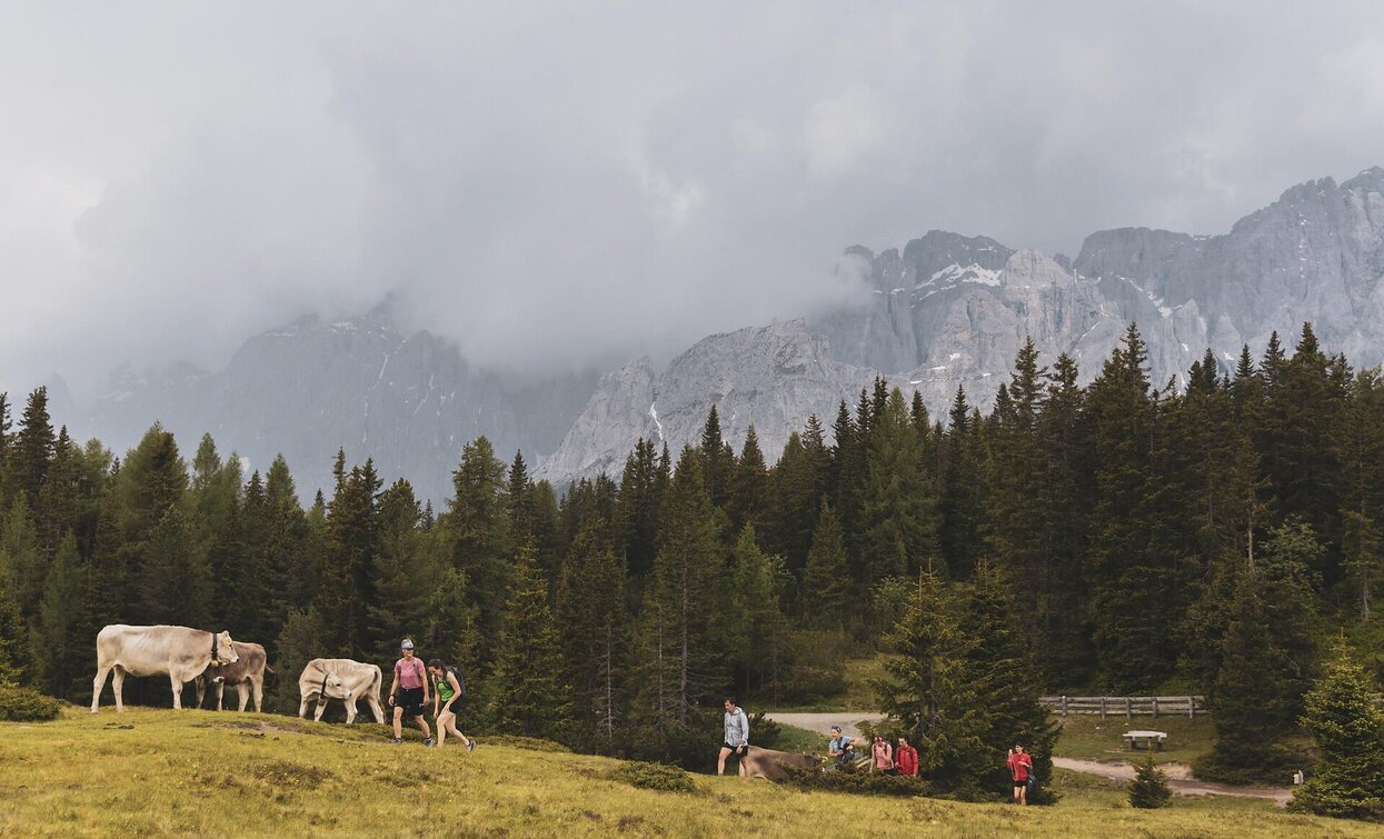
Hiking path: Moos - Kreuzbergpass- Coltrondo Alm

Sexten
Add to favourites
Difficulty
Intermediate
Activity time
3:57
Duration in hours
Distance
9.8
Distance in km
Status
Closed
Suggested period
Jan
Feb
Mar
Apr
May
Jun
Jul
Aug
Sep
Oct
Nov
Dec

A good alp-round-tour with nice  lookouts in a beautiful landscape.

Route info
Intermediate
Distance
9,8 km
Activity time
3 h 57 min
Ascent
619 m
Descent
149 m
Technical skills
Physical effort
Scenary
Highest point
1.838 m
Lowest point
1.368 m
Directions

From Moos/Moso with the bus or walking to the Passo Monte Croce. Here we take the way nr. 131 on the left side at the hotel, which goes upwards to a crossing. Now we take the right way nr. 149 to the Coltrondo Farm. Up- and downwards and passing the Lago dei Rospi we reach a street and soon the alp hut situated in a very nice position. If you want you can turn back the same way or continuing (aprox. 45 m) on the way nr. 156 to the Nemes Alp also nice situated with a wonderful view to the Meridian of Sesto. From here we turn back on way nr. 131 to the Passo Monte Croce or on way nr. 13 to Moos/Moso. 

You might be interested in
Discover related tours
Sexten
Hiking path: Moso – Fischleintal Valley – Talschlusshütte Hut
Distance 6,6 km
Activity time 2 h 45 min
Ascent 200 m
Descent 200 m
war cemetery | © © TvToblach, Dobbiaco
Intermediate
Add to favourites
Toblach
War Cemetery Track
Distance 11,4 km
Activity time 2 h 30 min
Ascent 112 m
Descent 112 m
Almwanderung | © Manuel Kottersteger_ 3 Zinnen AG, Sesto
Intermediate
Add to favourites
Sexten
Hiking path: Moso/Moos - Klammbachalm Alpine Farm
Distance 5,1 km
Activity time 2 h 46 min
Ascent 589 m
Descent 3 m
Status
Closed
Fischleintal | © Harald Wisthaler, Sesto
Intermediate
Add to favourites
Sexten
Jogging: Sesto – Val Fiscalina – Rifugio Fondo Valle
Distance 6,6 km
Activity time 1 h 50 min
Ascent 220 m
Descent 220 m
Sexten, Innichen
Jogging: Sesto - San Candido
Distance 7,4 km
Activity time 1 h 40 min
Ascent 60 m
Descent 225 m
Status
Closed
Niederdorf
Orienteering
Distance 1,7 km
Activity time 9 h 59 min
Ascent 9 m
Descent 11 m