Category
Difficulty
Intermediate
Activity time
3:20
Duration in hours
Distance
4.9
Distance in km
Suggested period
Jan
Feb
Mar
Apr
May
Jun
Jul
Aug
Sep
Oct
Nov
Dec
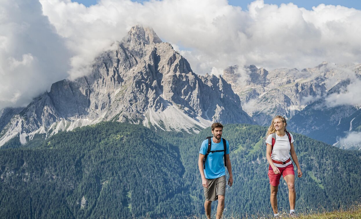
The Helm/ Monte Elmo not only inspires with its view, because the natural border between Italy and Austria looks back on a long history. On the tracks of smugglers and border crossers, various hikes with a low level of difficulty can be planned. Always with you: the view of the Sesto sundial, the largest stone sundial in the world.
Route info
Intermediate
Distance
4,9 km
Activity time
3 h
20 min
Ascent
1.091 m
Descent
1 m
Physical effort
Scenary
Highest point
2.431 m
Lowest point
1.342 m
Directions
The tour starts in Moos, right next to the Schäfer store. From there, follow Helmweg uphill, past the houses of Palmstatt until you cross a small bridge on the right side of the road. There, follow the signs for trail no. 1, cross the road, and follow the fence uphill to the Kristlerhöfe and the Helmhanghütte hut. Pass the hut and follow the path a short distance further towards Egge. At the last hut, turn left into the sparse larch forest and from here follow summer trail no. 3A, the so-called Heimatsteig. The narrow path climbs steadily along the ridge and offers some beautiful views. Once you leave the tree line behind, follow the distinct ridge steadily uphill to the summit of the Helm at 2,434 m, which rewards you with a magnificent 360° panoramic view of the Sesto Dolomites and the Puster Valley.
The return route is either the same way back to Moos, or alternatively continue to the Helmbahn (Helmjet) mountain station, from where you can comfortably descend into the valley.
Tip:
If you want to take it easy, you can gain a good amount of altitude from Sexten with the Helmbahn and start the tour from the mountain station – also ideal for families or less experienced hikers.
public transportation
Take the 446 bus to the Moos church stop.
How to get there
Via the state road from Sexten to Moos.
Where to park
Parking facilities at the public car parks.
You might be interested in
Discover related tours


