Category
Difficulty
Difficult
Activity time
5:36
Duration in hours
Distance
49
Distance in km
Status
Closed
Suggested period
Jan
Feb
Mar
Apr
May
Jun
Jul
Aug
Sep
Oct
Nov
Dec
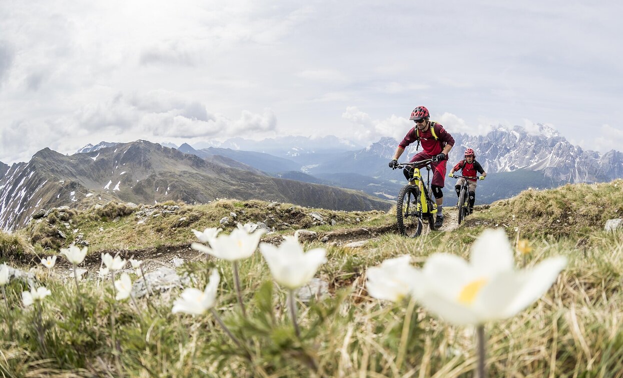
The Marchkinkele/Cornetto di Confine is a summit north of the village Toblach/Dobbiaco, on the border between South Tyrol (Italy) and East Tyrol (Austria).This MTB tour is one of the most demanding in the region.The efforts are quickly forgotten on the summit, as a 360 ° view offers an unforgettable panorama. In the south are the Dolomites with the Three Peaks and in the north the glaciers of Austria. Just below the summit is the Marchhütte hut, which invites you to make a break.
Route info
Difficult
Distance
49,0 km
Activity time
5 h
36 min
Ascent
1.438 m
Descent
1.438 m
Physical effort
Scenary
Highest point
2.526 m
Lowest point
1.139 m
Directions
The tour starts at the train station in Toblach and heads north, past the village of Wahlen, into the
Silvestertal valley. At first still on asphalt road, later on a gravel path through the forest. This forest
path leads gently uphill to the Silvester Alp mountain pasture (1,800m), which is surrounded by
alpine meadows. Behind the alpine pasture, the tour leads back into the forest on the right side
and uphill to the Bodeneck (1,805m). From there, an old military road from the First World War
branches off on the left and leads in serpentines, initially still in the forest, later with a view of
the Dolomite peaks, up to the Strickberg. Most of the ascent is done, it is not far to Marchkinkele
(2,545m). The descent begins via the same path back to the Bodeneck, from where the circular
tour leads in an easterly direction downhill to the “Jaufen” mountain farms and on to Winnebach.
From there the Pustertal Valley Cycle Route leads in a westerly direction to Innichen and on to
Toblach, back to the starting point.
TIP: Alternatively, the Signature Trail to Silvester Alp mountain pasture starts at Marchkinkele:
www.signaturetrails.com/toblach
public transportation
Accessible by public transport. The timetables are available on www.sii.bz.it.
How to get there
How to reach Toblach/Dobbiaco: https://www.drei-zinnen.info/en/dobbiaco/dobbiaco/contact-and-service/arrival-mobility.html
Where to park
Parking places are available.
You might be interested in
Discover related tours


