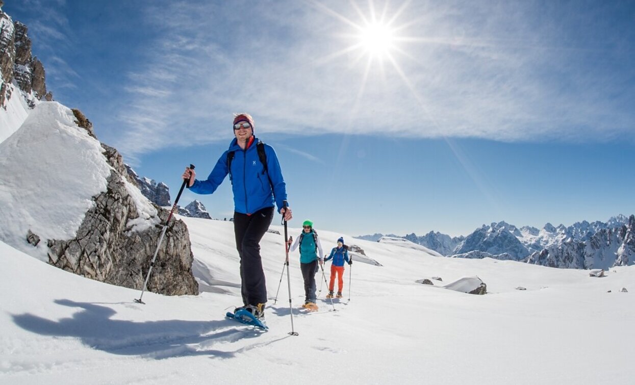
Snowshoe hike: Cappella del bosco/Waldkapelle Chapel - Baita del Cacciatore/Jägerhütte Mountain Hut - Sesto
Innichen, Sexten
Add to favouritesCategory
Difficulty
Difficult
Activity time
4:30
Duration in hours
Distance
13.8
Distance in km
Status
open
Suggested period
Jan
Feb
Mar
Apr
May
Jun
Jul
Aug
Sep
Oct
Nov
Dec
Long and therefore quite difficult snow shoe tour. Until Cappella del Bosco/Waldkapelle chapel (2,5 h). Until Baita del Cacciatore/Jägerhütte hut (4 h). Descent to Sesto/Sexten (2 h) and return by bus to San Candido/Innichen.
Tags
- Linear route
Route info
Difficult
Distance
13,8 km
Activity time
4 h
30 min
Ascent
634 m
Descent
512 m
Physical effort
Scenary
Highest point
1.830 m
Lowest point
1.175 m
public transportation
Getting to the starting point of the tour by public transport is possible.
How to get there
You can reach Innichen / San Candido easily by train, by bus or by car. Please contact the Tourist Info Innichen / San Candido to get information about timetables and free parking areas.
You might be interested in
Discover related tours


