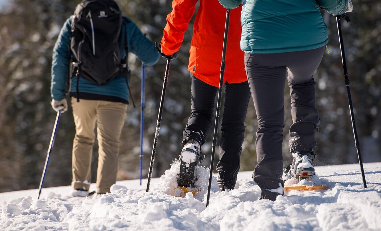
Snowshoe hike - Ponticello/ Brückele - Stolla Alm hut - Plätzwiese high plateau
Pragser Tal
Add to favouritesCategory
Difficulty
Intermediate
Activity time
1:58
Duration in hours
Distance
5.3
Distance in km
Status
open
Suggested period
Jan
Feb
Mar
Apr
May
Jun
Jul
Aug
Sep
Oct
Nov
Dec
From Brückele/Ponticello along the main road to the third turn, then follow the hiking path along the Stolla River to Stolla Alm hut; continue up-and-down to rato Plätzwiese high plateau (1,993 m).
Attention: Before the start, please note the avalanche report
Tags
- Linear route
Route info
Intermediate
Distance
5,3 km
Activity time
1 h
58 min
Ascent
517 m
Descent
21 m
Physical effort
Scenary
Highest point
1.990 m
Lowest point
1.494 m
public transportation
You can find all information about public transport on the website https://www.suedtirolmobil.info/en/
How to get there
Valley entrance Prags/Braies - road junction to Plätzwiese high plateau - continue until Brückele/Ponticello.
You can find all the information you need about accessibility on the website www.braies.bz
Where to park
At Brückele/Ponticello you can find a parking space.
You might be interested in
Discover related tours


